Le Reculet
| Le Reculet | |
|---|---|
 The summit of Le Reculet | |
| Highest point | |
| Elevation | 1,718 m (5,636 ft) |
| Coordinates | 46°15′24″N 5°55′48″E / 46.25667°N 5.93000°ECoordinates: 46°15′24″N 5°55′48″E / 46.25667°N 5.93000°E |
| Geography | |
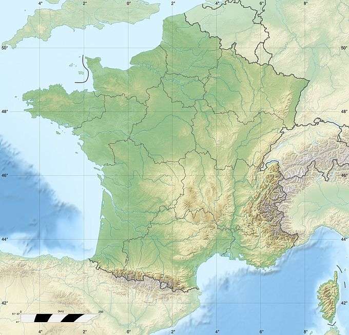 Le Reculet France | |
| Location | Ain, Rhône-Alpes, France |
| Parent range | Jura Mountains |
Le Reculet is the second-highest summit in the Jura Mountains. It is located in the Ain department in France. Its altitude is 1718 metres.[1] It is situated a few kilometres south of the Crêt de la Neige on the territory of the town of Thoiry.
A cross was erected on the summit by the inhabitants of Thoiry. The summit offers spectacular views of the Pays de Gex, Geneva, Lake Geneva, the Alps, Mont Blanc, the Matterhorn, and on clear days the Chaîne des Puys.
Le Reculet was sometimes designated as the highest point of the Jura, until the elevation of the Crêt de la Neige was revised upwards to 1720 m instead of 1717.6 m.
Notes and references
The position of the peak is taken from Géoportail[2]
- ↑ IGN map on Géoportail (in French), as of July 18, 2007
- ↑ IGN map on Géoportail (in French), as of November 2, 2007
| Wikimedia Commons has media related to Le Reculet. |
 Summit of the Crêt de la Neige, with Le Reculet in the background.
This article is issued from Wikipedia - version of the 5/30/2015. The text is available under the Creative Commons Attribution/Share Alike but additional terms may apply for the media files.