1948 Salta earthquake
 | |
| Date | August 25, 1948 |
|---|---|
| Origin time | 06:09:28 UTC [1] |
| Magnitude | 7.0 Mw [1] |
| Depth | 30 km (19 mi) [1] |
| Epicenter | 24°34′S 64°49′W / 24.57°S 64.82°WCoordinates: 24°34′S 64°49′W / 24.57°S 64.82°W [1] |
| Areas affected |
Salta Province Argentina |
| Max. intensity | IX (Violent) [2] |
| Casualties | 2 |
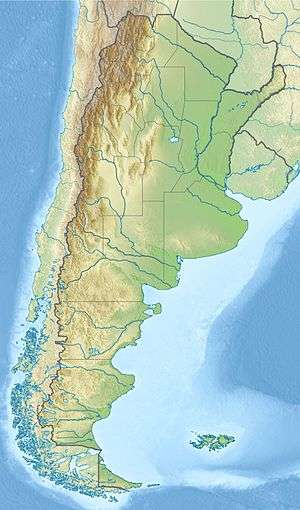
The 1948 Salta earthquake took place in the Argentinian province of Salta on 25 August at 03:09:28 local time The shock was 7.0 on the moment magnitude scale and had a maximum Mercalli Intensity of IX (Violent). Property damage and casualties occurred in several towns in the east and southeast of Salta, and also in northern Tucumán and Jujuy, affecting the capitals of both. It was the last major earthquake recorded in the Argentine Northwest until the 2010 Salta earthquake.
See also
References
- 1 2 3 4 ISC (2015), ISC-GEM Global Instrumental Earthquake Catalogue (1900–2009), Version 2.0, International Seismological Centre
- ↑ USGS (September 4, 2009), PAGER-CAT Earthquake Catalog, Version 2008_06.1, United States Geological Survey
External links
- Terremotos Históricos De La República Argentina – Instituto Nacional de Prevención Sísmica (Spanish)
This article is issued from Wikipedia - version of the 9/17/2016. The text is available under the Creative Commons Attribution/Share Alike but additional terms may apply for the media files.