Amalebra
Coordinates: 50°10′N 5°31′W / 50.17°N 05.51°W
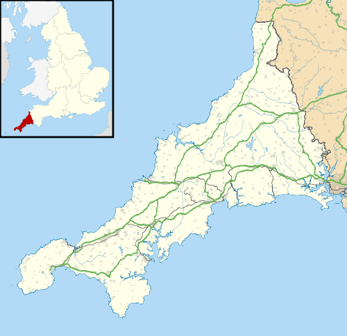
Amalebra (Cornish: Amal a-Bri, meaning from the clay of the river Amal) is a hamlet in Cornwall, England, United Kingdom, 3 miles (5 kilometres) south-west of St Ives at Ordnance Survey grid reference SW 495 365.[1][2]

Amalebra
References
External links
![]() Media related to Amalebra at Wikimedia Commons
Media related to Amalebra at Wikimedia Commons
Cornwall Portal | |
| Unitary authorities | |
| Major settlements |
|
| Rivers | |
| Topics | |
This article is issued from Wikipedia - version of the 7/18/2015. The text is available under the Creative Commons Attribution/Share Alike but additional terms may apply for the media files.