Baggy Point
| Baggy Point | |
| Baggy Point seen from Putsborough beach |
|
 Baggy Point |
|
| OS grid reference | SS426403 |
|---|---|
| Shire county | Devon |
| Region | South West |
| Country | England |
| Sovereign state | United Kingdom |
| Police | Devon and Cornwall |
| Fire | Devon and Somerset |
| Ambulance | South Western |
| EU Parliament | South West England |
Coordinates: 51°08′N 4°15′W / 51.14°N 04.25°W
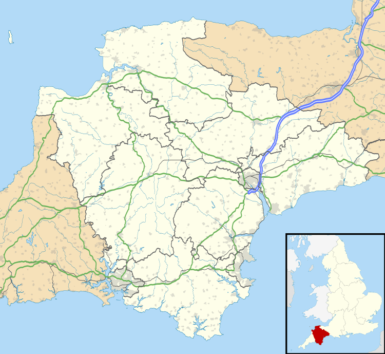
Baggy Point is a headland in north Devon, England. It separates Croyde bay and Morte Bay which includes the beaches of Woolacombe and Putsborough.
The sandstone rocks are popular with climbers.[1]
The land is owned by the National Trust,[2] and forms part of the Saunton To Baggy Point Coast Site of Special Scientific Interest, because of the geological interest in Upper Devonian Sandstones.[3] The fauna in the rocks is poor but contains bivalves, possibly of brackish to freshwater affinities, and plant remains.[4] It provides an important habitat including maritime heathland.[5]
There is evidence of human occupation from the Mesolithic era and was used during World War II by American forces training for the D-Day Normandy Landings.[6]
References
- ↑ "Baggy Point". Climbing Database. UK Climbing.com. Retrieved 2008-08-03.
- ↑ "West Country coasts". National Trust. Archived from the original on 6 July 2008. Retrieved 2008-08-03.
- ↑ "Saunton to Baggy Coast" (PDF). Educational Register of Geological Sites. Devon County Council. Retrieved 2008-08-03.
- ↑ "Summary of the geology of the Phase 2 part of the North Devon AONB and its immediate surroundings" (PDF). North Devon AONB. Archived from the original (PDF) on 2007-10-05. Retrieved 2008-08-03.
- ↑ "Croyde Action Plan" (PDF). North Devon Local Plan. North Devon Council. Archived (PDF) from the original on 8 September 2008. Retrieved 2008-08-03.
- ↑ "A Walk Round Baggy Point (Newsletter No 10 2005)". North Devon Archeological Society. 2005. Archived from the original on 2011-10-04. Retrieved 2010-10-09.