Beinn a' Bhathaich Àrd
| Beinn a' Bhathaich Àrd | |
|---|---|
 View of Beinn a' Bhathaich Àrd from near Struy | |
| Highest point | |
| Elevation | 862 m (2,828 ft) |
| Prominence | 241 m (791 ft) [1] |
| Listing | Marilyn, Corbett |
| Coordinates | 57°27′07″N 4°44′02″W / 57.451864°N 4.733881°WCoordinates: 57°27′07″N 4°44′02″W / 57.451864°N 4.733881°W |
| Naming | |
| Translation | Mountain of the high byre (Gaelic) |
| Geography | |
| OS grid | NH 36061 43474 |
| Topo map | OS Landranger 26, Explorer 431 |
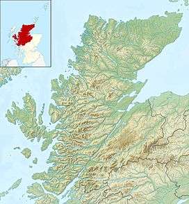
Beinn a' Bhathaich Àrd is mountain on the northern side of Glen Strathfarrar, in the Highlands of Scotland. It is situated at the eastern end of the glen, 5 km north-west of the village of Struy, and 16 km west of Beauly. Though not the highest hill in Strathfarrar, its position at the end of the glen makes it visible for some distance around - it is a prominent landmark from much of The Aird, Inverness and the Kessock Bridge.
Beinn a' Bhathaich Àrd is usually climbed from the hamlet of Inchmore, at the foot of Strathfarrar.
References
| Wikimedia Commons has media related to Beinn a' Bha'ach Ard. |
- ↑ Database of British and Irish Hills. Retrieved 20 Jan 2012.
This article is issued from Wikipedia - version of the 12/6/2015. The text is available under the Creative Commons Attribution/Share Alike but additional terms may apply for the media files.