Bhauri
| Bhauri | |
|---|---|
| village | |
 Bhauri 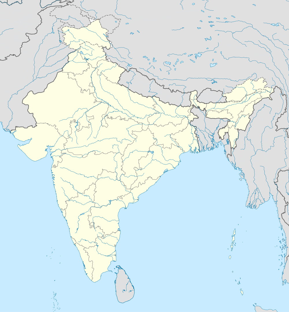 Bhauri | |
| Coordinates: 23°16′48″N 77°16′30″E / 23.280004°N 77.275118°ECoordinates: 23°16′48″N 77°16′30″E / 23.280004°N 77.275118°E | |
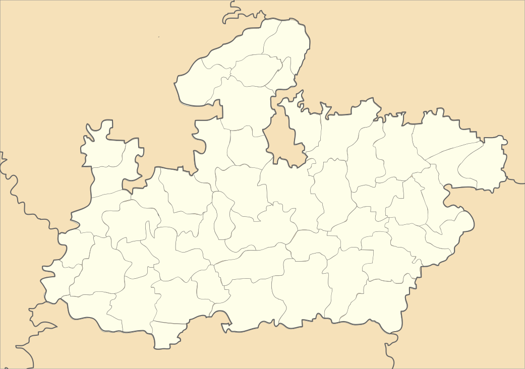
| Country | India |
| State | Madhya Pradesh |
| District | Bhopal |
| Tehsil | Huzur |
| Population (2011) | |
| • Total | 3,031 |
| Time zone | IST (UTC+5:30) |
| PIN | 462066 |
| Census code | 482463 |
Bhauri is a village in the Bhopal district of Madhya Pradesh, India.[1] It is located in the Huzur tehsil and the Phanda block.[2]
The IISER Bhopal is located in Bhauri, beside the Bhopal Bypass Road.[3]
Demographics
According to the 2011 census of India, Bhauri has 575 households. The effective literacy rate (i.e. the literacy rate of population excluding children aged 6 and below) is 77.5%.[4]
| Total | Male | Female | |
|---|---|---|---|
| Population | 3031 | 1538 | 1493 |
| Children aged below 6 years | 466 | 240 | 226 |
| Scheduled caste | 253 | 135 | 118 |
| Scheduled tribe | 323 | 155 | 168 |
| Literates | 1988 | 1128 | 860 |
| Workers (all) | 1355 | 800 | 555 |
| Main workers (total) | 922 | 707 | 215 |
| Main workers: Cultivators | 293 | 270 | 23 |
| Main workers: Agricultural labourers | 376 | 221 | 155 |
| Main workers: Household industry workers | 41 | 34 | 7 |
| Main workers: Other | 212 | 182 | 30 |
| Marginal workers (total) | 433 | 93 | 340 |
| Marginal workers: Cultivators | 200 | 25 | 175 |
| Marginal workers: Agricultural labourers | 158 | 36 | 122 |
| Marginal workers: Household industry workers | 28 | 7 | 21 |
| Marginal workers: Others | 47 | 25 | 22 |
| Non-workers | 1676 | 738 | 938 |
References
- ↑ Bhauri may not get Upper Lake water
- ↑ "RFP Document for Establishing Operating and Maintaining Lok Seva Kendra" (PDF). E-Governance Society Bhopal District. Retrieved 2015-07-25.
- ↑ Address and Route Map to IISER Bhopal
- 1 2 "District Census Handbook - Bhopal" (PDF). 2011 Census of India. Directorate of Census Operations, Madhya Pradesh. Retrieved 2015-07-20.
This article is issued from Wikipedia - version of the 8/23/2016. The text is available under the Creative Commons Attribution/Share Alike but additional terms may apply for the media files.