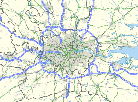
Farnborough/Aldershot Built-up Area
The Farnborough/Aldershot built-up area or Blackwater Valley Conurbation or Aldershot Urban Area is the name used by the ONS to refer to the loose conurbation on the border between Surrey, Berkshire and Hampshire in England. They give it a population of 252,937 in 2011[1] up by around 4% from the 2001 figure of 243,344.[2] This makes it the 29th largest built up area in England and Wales. The conurbation is known by some particularly when referring to Hart District and Surrey Heath as the Camberley Urban Area.
The area was given the following subdivisions in the 2011 census:[3]
| Geography code | Area | 2011 Population |
|---|---|---|
| E35000108 | Farnborough | 65,034 |
| E35000207 | Aldershot | 57,211 |
| E35000239 | Wyke | 276 |
| E35000279 | Sandhurst | 20,495 |
| E35000513 | Blackwater | 7,195 |
| E35000638 | Badshot Lea | 1,582 |
| E35000977 | Deepcut | 2,128 |
| E35001045 | Frimley | 19,094 |
| E35001069 | Yateley | 14,829 |
| E35001198 | Farnham | 25,604 |
| E35001352 | Camberley | 38,038 |
| E35001431 | Shortfield Common | 911 |
Several continuous villages form part of the conurbation, including Ash, Cove, Deepcut, Hale, Hawley and Tongham.
The wider Agglomeration which includes the towns of Fleet, Lightwater and Bagshot had a population of 311,232 in 2011.[4]
Much of the conurbation is part of the Aldershot Parliamentary Constituency. This includes most of the area west of the River Blackwater minus Farnham, Yateley and Sandhurst.
The urban area also forms a major part of the London commuter belt and is also known as the Blackwater Valley Conurbation, named after the primary local river. It adjoins the Reading/Wokingham Urban Area at Sandhurst making an even larger conurbation which the ONS does not consider one unit.
References
- ↑ "2011 Census - Built-up areas". ONS. Retrieved 1 July 2013.
- ↑ http://www.citypopulation.de/UK-UA.html
- ↑ "2011 Census - Usual resident population". ONS. 2013-02-12. Retrieved 2016-02-25.
- ↑ http://www.citypopulation.de/php/uk-agglo.php?cid=E34004885A
Coordinates: 51°14′N 0°45′W / 51.24°N 0.75°W
