Brownsville-Brent-Goulding, Florida
| Brownsville-Brent-Goulding | |
|---|---|
| Former CDP | |
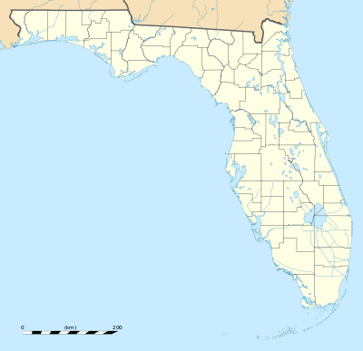
 Brownsville-Brent-Goulding Location within the state of Florida | |
| Coordinates: 30°26′14″N 87°13′50″W / 30.43722°N 87.23056°WCoordinates: 30°26′14″N 87°13′50″W / 30.43722°N 87.23056°W | |
| Country | United States |
| State | Florida |
| County | Escambia |
| Population (1950) | |
| • Total | 20,269 |
| Time zone | Central (CST) (UTC-6) |
| • Summer (DST) | CDT (UTC-5) |
Brownsville-Brent-Goulding was a Census-designated place in Escambia County, Florida during the 1950 United States Census, which consists of the communities of Brent, Brownsville, Goulding and West Pensacola.[1][2] The population in 1950 was 20,269.[3]
The census area's name was reduced to just "Brownsville" during the 1960 Census, when the population increased to 38,417.[4] During the 1970 census, the census area was reduced and was reassigned to West Pensacola, with a recorded population of 20,924.[5] The communities of Brent and Goulding were not returned separately by census enumerators until 1980.[6]
Geography
The census area of Brownsville-Brent-Goulding was located northwest of Pensacola and northeast of Warrington, the only existing CDP in the county enumerated since the concept began in 1950.[7]
References
- ↑ West Pensacola Profile: Hometown Locator. Retrieved 2010-08-06
- ↑ 1950 Census of Population Alabama-Georgia
- ↑ American peoples encyclopedia. Goggle Books. (snippet view only) 1951. Retrieved 2010-08-06.
- ↑ Encyclopædia Britannica. Google Books (snippet view only). 1963. Retrieved 2010-08-06.
- ↑ 1970 U.S. census: Florida. Retrieved 2010-08-06.
- ↑ 1980 census of population. Retrieved 2010-08-06.
- ↑ 1950 Census of Population Alabama-Georgia
