Carters Run Rural Historic District
|
Carters Run Rural Historic District | |
   | |
| Location | Marshall, Virginia |
|---|---|
| Coordinates | 38°50′00″N 77°51′28″W / 38.833423°N 77.85789°WCoordinates: 38°50′00″N 77°51′28″W / 38.833423°N 77.85789°W |
| Area | 4,400 acres (1,800 ha) |
| NRHP Reference # | 14000236[1] |
| Added to NRHP | May 15, 2014 |
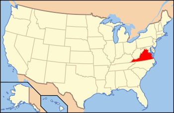
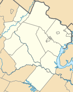
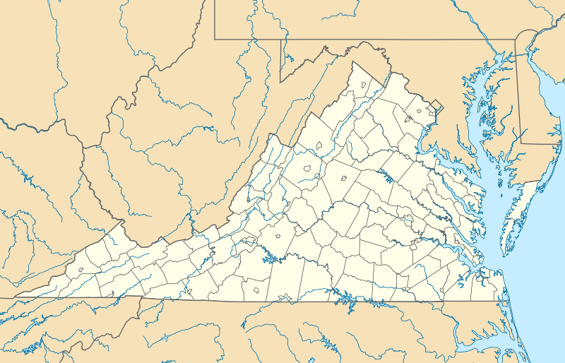
The Carters Run Rural Historic District encompasses a large rural landscape in central northern Fauquier County. Covering some 4,400 acres (1,800 ha), the district extends south from near Marshall southward along Carters Run Road, the only major paved road through the district. The district also includes properties accessible from Scotts Road (County Road 719) and on the east side of Free State Road (County Road 721). Land use has for more than 200 years been almost entirely agricultural; there are no villages or commercial centers. The main structures in the district are farmhouses and agricultural outbuildings; the district notably includes the previously-listed Waveland plantation.[2]
The district was listed on the National Register of Historic Places in 2014.[1]
See also
References
- 1 2 National Park Service (2010-07-09). "National Register Information System". National Register of Historic Places. National Park Service.
- ↑ "NRHP nomination for Carters Run Rural Historic District" (PDF). Virginia DHR. Retrieved 2014-05-24.