Cellio
| Cellio | |
|---|---|
| Comune | |
| Comune di Cellio | |
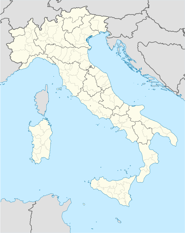 Cellio Location of Cellio in Italy | |
| Coordinates: 45°43′N 8°16′E / 45.717°N 8.267°ECoordinates: 45°43′N 8°16′E / 45.717°N 8.267°E | |
| Country | Italy |
| Region | Piedmont |
| Province / Metropolitan city | Province of Vercelli (VC) |
| Frazioni | Agua, Carega, Allera, Merlera, Valmonfredo, Viganallo, Cosco, Arva, Crabia, Forcola, Maddalena, Mollie, Casaccia, Tairano, Mascherana, Casa Resegotti, Cerchiera, Agarla, Bosco, Zagro, Baltegora, Sella, Culagna, Camo, Fronto |
| Area | |
| • Total | 10.0 km2 (3.9 sq mi) |
| Elevation | 685 m (2,247 ft) |
| Population (Dec. 2004) | |
| • Total | 898 |
| • Density | 90/km2 (230/sq mi) |
| Demonym(s) | Celliesi |
| Time zone | CET (UTC+1) |
| • Summer (DST) | CEST (UTC+2) |
| Postal code | 13024 |
| Dialing code | 0163 |
Cellio is a comune (municipality) in the Province of Vercelli in the Italian region Piedmont, located about 80 kilometres (50 mi) northeast of Turin and about 45 kilometres (28 mi) north of Vercelli. As of 31 December 2004, it had a population of 898 and an area of 10.0 square kilometres (3.9 sq mi).[1]
The municipality of Cellio contains the frazioni (subdivisions, mainly villages and hamlets) Agua, Carega, Allera, Merlera, Valmonfredo, Viganallo, Cosco, Arva, Crabia, Forcola, Maddalena, Mollie, Casaccia, Tairano, Mascherana, Casa Resegotti, Cerchiera, Agarla, Bosco, Zagro, Baltegora, Sella, Culagna, Camo, and Fronto.
Cellio borders the following municipalities: Borgosesia, Breia, Madonna del Sasso, Quarona, and Valduggia.
Demographic evolution
