Chamarande
| Chamarande | ||
|---|---|---|
|
The château of Chamarande | ||
| ||
 Chamarande | ||
|
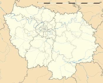
Location within Île-de-France region  Chamarande | ||
| Coordinates: 48°30′48″N 2°13′03″E / 48.5133°N 2.2175°ECoordinates: 48°30′48″N 2°13′03″E / 48.5133°N 2.2175°E | ||
| Country | France | |
| Region | Île-de-France | |
| Department | Essonne | |
| Arrondissement | Étampes | |
| Canton | Étréchy | |
| Intercommunality | Entre Juine et Renarde | |
| Government | ||
| • Mayor (2008–2014) | Marie-Hélène Jolivet-Béal | |
| Area1 | 5.74 km2 (2.22 sq mi) | |
| Population (2006)2 | 1,088 | |
| • Density | 190/km2 (490/sq mi) | |
| Time zone | CET (UTC+1) | |
| • Summer (DST) | CEST (UTC+2) | |
| INSEE/Postal code | 91132 / 91730 | |
| Elevation | 62–155 m (203–509 ft) | |
|
1 French Land Register data, which excludes lakes, ponds, glaciers > 1 km² (0.386 sq mi or 247 acres) and river estuaries. 2 Population without double counting: residents of multiple communes (e.g., students and military personnel) only counted once. | ||
Chamarande is a commune of Essonne department in the southern suburbs of Paris.
Inhabitants of Chamarande are known as Chamarandais.
History
Initially, this village was named Bonnes. In 1685, d'Ornaison family, the owner of the village and its château, gained permission from the French king to change the name to Chamarande. A later owner, the Duc de Persigny, was Minister of the Interior under Napoléon III and a financial backer of the building of the Paris-Orléans rail station in the village, today an RER C station.
Geography
The Juine forms the commune's eastern border.
See also
References
- INSEE
- Mayors of Essonne Association (French)
External links
- The Château de Chamarande on the French Wikipedia (French)
- Official website of Chamarande (French)
- Mérimée database - Cultural heritage (French)
- Land use (IAURIF) (English)
| Wikimedia Commons has media related to Chamarande. |
This article is issued from Wikipedia - version of the 11/19/2016. The text is available under the Creative Commons Attribution/Share Alike but additional terms may apply for the media files.

.svg.png)