Darkha
| Darkha दार्खा | |
|---|---|
| Village development committee | |
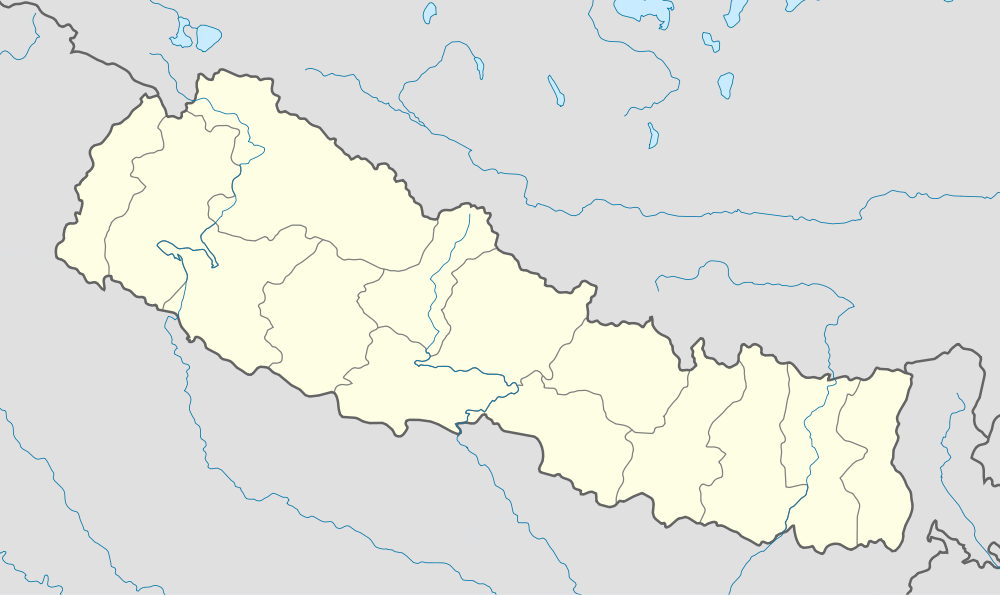 Darkha Location in Nepal | |
| Coordinates: 28°04′N 85°01′E / 28.07°N 85.01°ECoordinates: 28°04′N 85°01′E / 28.07°N 85.01°E | |
| Country |
|
| Zone | Bagmati Zone |
| District | Dhading District |
| Population (1991) | |
| • Total | 4,979 |
| • Religions | Buddhist |
| Time zone | Nepal Time (UTC+5:45) |
Darkha is a village development committee in Dhading District in the Bagmati Zone of central Nepal. At the time of the 1991 Nepal census it had a population of 4979 and had 910 houses in it.[1]
References
- ↑ "Nepal Census 2001". Nepal's Village Development Committees. Digital Himalaya. Retrieved 2008-08-24.

Darkha is verry beauti of natural. and darkha is east border of satyadevi and aakhu border in the south,jharlang border is west fraom darkha we can see beauty schene of ganesh himal. such this is nice v.d.c.
This article is issued from Wikipedia - version of the 3/9/2013. The text is available under the Creative Commons Attribution/Share Alike but additional terms may apply for the media files.