Emirler, Gölbaşı
| Emirler | |
|---|---|
| Village | |
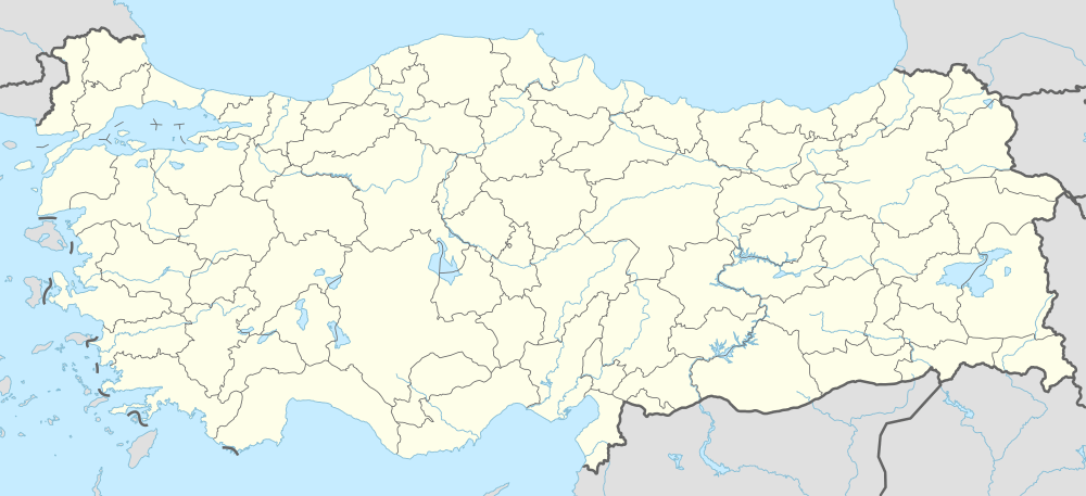 Emirler Location in Turkey | |
| Coordinates: 39°25′N 32°55′E / 39.417°N 32.917°ECoordinates: 39°25′N 32°55′E / 39.417°N 32.917°E | |
| Country |
|
| Province | Ankara Province |
| District | Gölbaşı |
| Elevation | 1,190 m (3,905 ft) |
| Population (2011) | |
| • Total | 422 |
| Time zone | EET (UTC+2) |
| • Summer (DST) | EEST (UTC+3) |
| Postal code | 06830 |
| Area code(s) | 0312 |
| Licence plate | 06 |
Emirler is a village in Gölbaşı district of Ankara Province, Turkey. It is at 39°25′N 32°55′E / 39.417°N 32.917°E . Distance to Ankara is 65 kilometres (40 mi) .The village is situated at the west of the Turkish state highway ![]() . There is a short wave radio transmitter station next to the village. The population of Emirler is 422[1] as of 2011. The residents are of Turkmen origin.
. There is a short wave radio transmitter station next to the village. The population of Emirler is 422[1] as of 2011. The residents are of Turkmen origin.
References
- ↑ "Turkstat". Turkish Statistical Institute. Retrieved 2015. Check date values in:
|access-date=(help)
This article is issued from Wikipedia - version of the 10/28/2016. The text is available under the Creative Commons Attribution/Share Alike but additional terms may apply for the media files.