Fentonadle
Coordinates: 50°34′08″N 4°42′25″W / 50.569°N 4.707°W
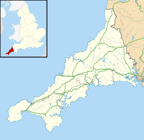
Fentonadle is a hamlet situated 4 miles (6.4 km) south-west from Camelford in Cornwall, England.[1] Fentonadle lies at around 120 metres (390 ft) above sea level in the civil parish of Michaelstow situated on the western side of the River Camel valley and to the north-west of Bodmin Moor
References
This article is issued from Wikipedia - version of the 1/11/2016. The text is available under the Creative Commons Attribution/Share Alike but additional terms may apply for the media files.
