Fernsplatt

Fernsplatt
Fernsplatt
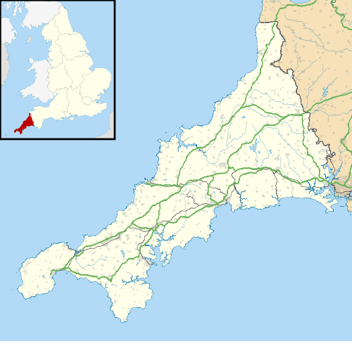
 Fernsplatt shown within Cornwall
OS grid referenceSW761415
Civil parishGwennap
Unitary authorityCornwall
Ceremonial countyCornwall
RegionSouth West
CountryEngland
Sovereign stateUnited Kingdom
Post town REDRUTH
Postcode district TR16
Dialling code 01872
Police Devon and Cornwall
Fire Cornwall
Ambulance South Western
EU Parliament South West England
UK ParliamentTruro and Falmouth
List of places
UK
England
Cornwall

Coordinates: 50°13′52″N 5°08′28″W / 50.231°N 5.141°W / 50.231; -5.141

Fernsplatt is a hamlet situated 4 miles (6.4 km) east of Redruth in Cornwall, England.[1] Fernsplatt lies at around 70 metres (230 ft) above sea level in the civil parish of Gwennap and is located in the Cornwall and West Devon Mining Landscape which was designated as a World Heritage Site in 2006.

References

  1. Ordnance Survey: Landranger map sheet 204 Truro & Falmouth (Map). Ordnance Survey. 2009. ISBN 9780319232903.
This article is issued from Wikipedia - version of the 1/11/2016. The text is available under the Creative Commons Attribution/Share Alike but additional terms may apply for the media files.