Flash, Staffordshire

Coordinates: 53°12′04″N 1°57′48″W / 53.201135°N 1.963319°W
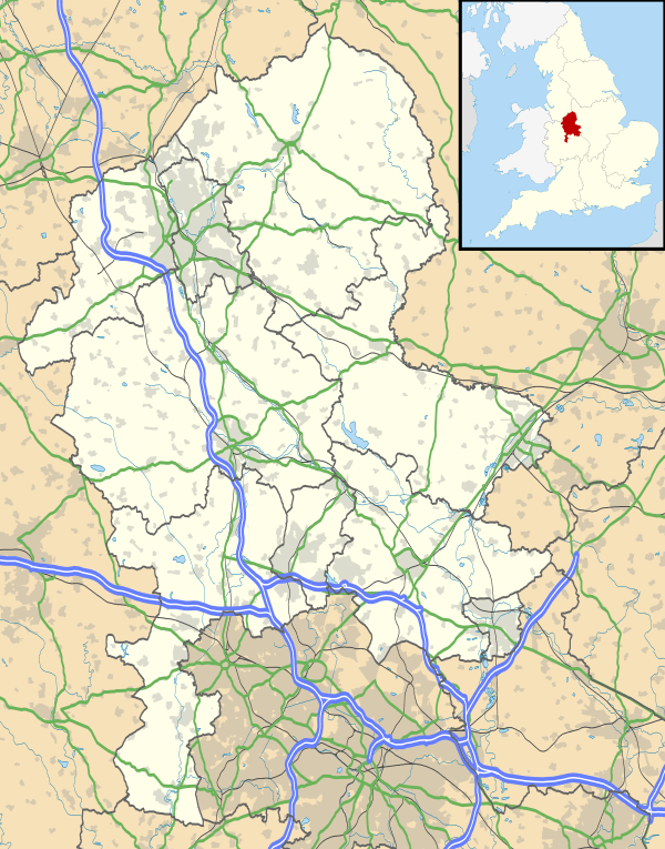
Flash is a village within the Staffordshire Moorlands, England, and the Peak District National Park. Population details taken at the 2011 census can be found under Quarnford. It was an early centre for Wesleyanism.
Location and geography
Flash is the main village in Quarnford Parish. It lies just off the A53 main road about 3 miles southwest of Buxton. It is on the southern slope of the highest ground on Axe Edge Moor, which rises to a peak of 551m.[1] The parish forms the Staffordshire corner of Three Shire Head, a packhorse bridge on a tributary of the River Dane, where Staffordshire, Derbyshire and Cheshire meet.
This general area has much geographical interest. To the south is Morridge, with a trig point at 489m[1] at Merryton Low which provides outstanding sunset views across the Cheshire plain and The Roaches. Also in this area is Ramshaw Rocks, a part of the range which includes Hen Cloud and The Roaches. The famous "Winking Man" is a combination of upright stones on Ramshaw Rocks, which is seen to wink as one travels the A53. The River Dane rises within the parish.
East of Flash, and just over the A53, are the heads of the River Dove and River Manifold. Further south is the head of the River Churnet and to the north is the head of the River Goyt.[1] Other interesting features include caves on the west side of Axe Edge, one of which is known as "The Devil's Hole" from some strange sounds heard there when the wind blows in the right direction.
Highest village in Britain
At 463 metres (1,519 ft) above sea level, Flash claims to be the highest village in Great Britain. In 2007 the claim was upheld by the BBC, which settled a dispute with its rival claimant, Wanlockhead in Dumfries and Galloway. The Ordnance Survey measured the highest house in each village and Flash was higher, although the results were disputed by residents of the Scottish village.[2]
More recently the claim has been disputed by the residents of Nenthead in Cumbria. There is however no doubt that the Methodist Chapel is the highest in Britain; the certainty is helped by the scarcity of Methodist Chapels in the Southern Uplands.[3]
The village
During the first half of the 19th century the population of the parish was around 700; it had reduced to half that by the end of the 1800s. In 1851 there were 40 agricultural labourers, about the same number of silk workers, and almost as many colliers. There were also stonemasons, dressmakers, blacksmiths and cordwainers, and a shoemaker, errand boy, wheelwright, game-keeper, grocer, peddlar and tailor, as well as a number of house servants, 275 young people and 50 scholars. At one time 29 families were receiving weekly relief and 23 families occasional relief, nearly a quarter of the population.
The first record of coalmining in the parish comes from 1401 when Thomas Smith took a year's lease on the 'vein coal' of Black Brook, near Upper Hulme. There were a large number of coal pits in the area, including Orchard Common, Blackclough, Hope, Goldsitch and Knotbury. They were worked throughout the 18th and 19th centuries, and some into the early 20th century, for both commercial and domestic use.
Flash is an isolated community with a small population; it previously had a school attended by as few as seven pupils (the school is now closed). Flash formerly had a reputation for being a centre for illegal activities such as cock fighting and counterfeiting ('Flash money').[4] Prizefighting was said to have taken place at Three Shires Head.[5]
According to some sources,[6] the counterfeit money manufactured at Flash used to be exchanged at the nearby Three Shires Head (where Staffordshire, Cheshire and Derbyshire meet) on Axe Edge Moor. The village currently has a shop, Flash bar stores with a web cam, and a brewery, Flash brewery, which has bottled beer suitable for vegans.
Methodist history
Wesleyan Methodism was so well-established in Flash during the 18th century that a chapel was built as early as 1784. At this time, there were 61 Methodist "members of Society".[7] This account suggests that Flash became a centre from which Methodism spread into other neighbouring villages, such as Hollinsclough.[8]
Notes and references
- 1 2 3 Ordnance Survey Map, 1:50,000 Landranger, Sheet 119
- ↑ "Highest village claims were no Flash in the pan". Macclesfield Express. 15 August 2007. Retrieved 26 January 2012.
- ↑ This was the subject of debate in The Methodist Recorder in the late 20th century. A letter from Rev. R O Higginson, whose work as a Methodist Minister had included Flash, settled the matter.
- ↑ Flash village history booklet available in Parish Church
- ↑ Peak District UK article on Flash.
- ↑ for example
- ↑ J B Dyson, "Wesleyan Methodism in the Leek Circuit", 1853
- ↑ Dyson, op cit records the conversion of John Lomas who later built Holinsclough Chapel
External links
| Wikimedia Commons has media related to Flash, Staffordshire. |