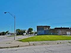
Flat Iron Building (Chicago Heights, Illinois)
|
Flat Iron Building | |
|
Site of the building | |
  | |
| Location | 1441-1449 Emerald Ave., Chicago Heights, Illinois |
|---|---|
| Coordinates | 41°30′16″N 87°38′5″W / 41.50444°N 87.63472°WCoordinates: 41°30′16″N 87°38′5″W / 41.50444°N 87.63472°W |
| Area | 0.9 acres (0.36 ha) |
| Built | 1925 |
| Architectural style | Mission/Spanish Revival, Spanish Baroque |
| NRHP Reference # | 03000917[1] |
| Added to NRHP | September 13, 2003 |
The Flat Iron Building in Chicago Heights, Illinois, was listed on the National Register of Historic Places in 2003.[1] It was torn down in 2009.[2]
References
- 1 2 "National Register Information System". National Register of Historic Places. National Park Service. 2009-03-13.
- ↑ James W. Wright. The Dixie Highway in Illinois. Arcadia, 2009. 50.
This article is issued from Wikipedia - version of the 11/27/2016. The text is available under the Creative Commons Attribution/Share Alike but additional terms may apply for the media files.
