Garlenda
For the mountain, see Cima Garlenda. For the mountain pass, see Passo Garlenda.
| Garlenda | |
|---|---|
| Comune | |
| Comune di Garlenda | |
|
Church of the Nativity | |
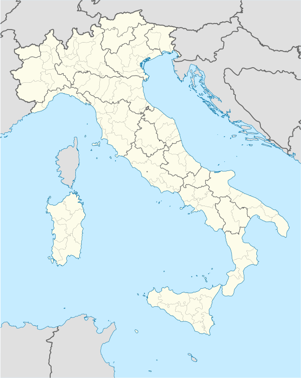 Garlenda Location of Garlenda in Italy | |
| Coordinates: 44°2′N 8°6′E / 44.033°N 8.100°ECoordinates: 44°2′N 8°6′E / 44.033°N 8.100°E | |
| Country | Italy |
| Region | Liguria |
| Province / Metropolitan city | Savona (SV) |
| Frazioni | Castelli, Paravenna |
| Government | |
| • Mayor | Giuliano Miele |
| Area | |
| • Total | 8.3 km2 (3.2 sq mi) |
| Elevation | 75 m (246 ft) |
| Population (31 December 2011)[1] | |
| • Total | 1,213 |
| • Density | 150/km2 (380/sq mi) |
| Demonym(s) | Garlendesi |
| Time zone | CET (UTC+1) |
| • Summer (DST) | CEST (UTC+2) |
| Postal code | 17033 |
| Dialing code | 0182 |

Garlenda is a comune (municipality) in the Province of Savona in the Italian region Liguria, located about 80 kilometres (50 mi) southwest of Genoa and about 45 kilometres (28 mi) southwest of Savona.
The district is made up, besides the capital, the two fractions of Castles and Paravenna for a land area of 8.03 km².
It bordered to the north by the municipality of Villanova d'Albenga, on the south by Stellanello Andora and, to the west with Casanova Lerrone and east Villanova d'Albenga .
References
This article is issued from Wikipedia - version of the 3/13/2016. The text is available under the Creative Commons Attribution/Share Alike but additional terms may apply for the media files.