Garrygala
| Garrygala | |
|---|---|
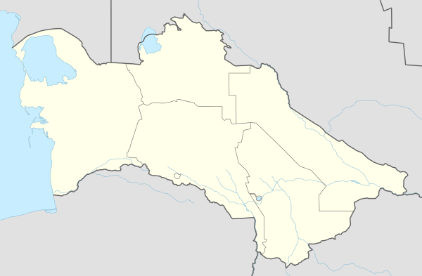 Garrygala Location in Turkmenistan | |
| Coordinates: 38°26′N 56°18′E / 38.433°N 56.300°ECoordinates: 38°26′N 56°18′E / 38.433°N 56.300°E | |
| Country |
|
| Province | Balkan Province |
| Population (1989 census)[1] | |
| • Total | 8,412 |
Garrygala (formerly Kara-Kala, Russian: Кара-Кала) is a town in far south-western Turkmenistan in Balkan Province. It lies west of Aydere and is the administrative capital of Magtymguly District. In 1972 it had a population of 5700 inhabitants, rising to 8412 in 1989.
It is located in the foothills of the Kopet Dag mountain range, it lies on the Sumbar River, a tributary of the Atrek River.
The ruins of a vast fortress, located on the river bank is located in Garrygala, and was used as a base by the Armenian Kings Tigranes I to Tigranes VI.
References
- ↑ Population census 1989, Demoscope Weekly, No. 359-360, 1-18 January 2009 (search for Туркменская ССР) (Russian)
This article is issued from Wikipedia - version of the 1/8/2014. The text is available under the Creative Commons Attribution/Share Alike but additional terms may apply for the media files.