Goodge Col

Goodge Col (78°28′S 85°38′W / 78.467°S 85.633°WCoordinates: 78°28′S 85°38′W / 78.467°S 85.633°W) is a broad ice-covered col at 3,600 metres (11,800 ft) elevation between the south side of Mount Shinn and the Vinson Massif in the Sentinel Range of the Ellsworth Mountains in Antarctica. The col is relatively level, 1.5 miles (2.4 km) wide, and is easily identified from positions east and west of the range. It drains northeastwards into Crosswell Glacier, eastwards into Hinkley Glacier and, jointly with the ice filled Jacobsen Valley, westwards into Branscomb Glacier.
Goodge Col was named by the Advisory Committee on Antarctic Names (2006) after John W. Goodge, Assistant Professor in the Department of Geological Sciences, University of Minnesota, Duluth, and a United States Antarctic Program investigator of the evolution of the East Antarctic shield, mid 1980s to 2006.[1]
Maps
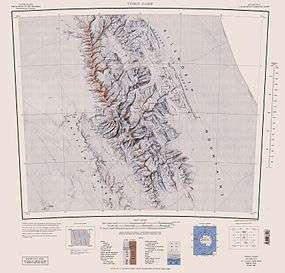
- Vinson Massif. Scale 1:250 000 topographic map. Reston, Virginia: US Geological Survey, 1988.
References
- ↑ "Goodge Col". Geographic Names Information System. United States Geological Survey. Retrieved 2012-04-30.
![]() This article incorporates public domain material from the United States Geological Survey document "Goodge Col" (content from the Geographic Names Information System).
This article incorporates public domain material from the United States Geological Survey document "Goodge Col" (content from the Geographic Names Information System).