Gorubathan
| Gorubathan | |
|---|---|
| Town | |
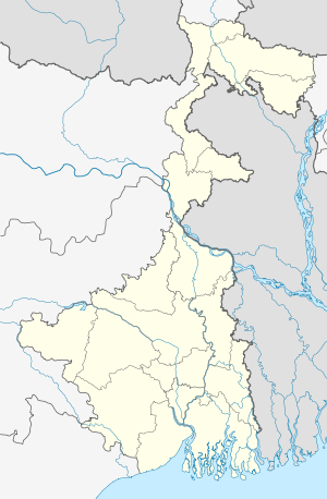 Gorubathan Location in West Bengal, India | |
| Coordinates: 26°58′N 88°42′E / 26.97°N 88.70°ECoordinates: 26°58′N 88°42′E / 26.97°N 88.70°E | |
| Country |
|
| State | West Bengal |
| District | Darjeeling |
| Elevation | 417 m (1,368 ft) |
| Languages | |
| • Official | Nepali,English |
| Time zone | IST (UTC+5:30) |
| Lok Sabha constituency | Darjeeling |
| Vidhan Sabha constituency | Kalimpong |
Gorubathan (Nepali: गोरुबथान) is a small town in the Kalimpong subdivision of Darjeeling district of the Indian state of West Bengal.
Description
Among the locals the place is also known as Sombaray. The name has it origin in the weekly village market (haat) which is organized here every Monday (Sombar). Gorubathan is situated on the east bank of the Chel river. There are ruins of a fort known as Dalim Fort on the top of a hill near Gorubathan. Gorubathan is known for its beautiful landscape of the Neora river, mountains and forests, which attract a lot of tourists. Accommodation is available at the Forest Rest House, managed by the West Bengal Forest Development Corporation (WBFDC), and some other private hotels.
The town is 90 km from Kalimpong town and 59 km from Siliguri. To reach Gorubathan one has to travel from Siliguri on NH31 till Damdim. From Damdim, a road to the north goes to Lava through Gorubathan.
Geography
Gorubathan is located at 26°58′N 88°42′E / 26.97°N 88.70°E.[1] It has an average elevation of 417 metres (1,368 feet).
Administration
Gorubathan is a block in the Kalimpong subdivision of Darjeeling district. Gorubathan block consists of rural areas only with 11 gram panchayats, i.e. Dalim, Gorubathan–I, Gorubathan–II, Patengodak, Todeytangta, Kumai, Pokhreybong, Samsing, Aahaley, Nim and Rongo. This block has two police stations: Gorubathan and Jaldhaka. The headquarters of this block is in Fagu. But there has been a court of Judicial magistrate and Civil Judge running in Gorubathan since 2005.
References
Cities, towns and locations in Darjeeling District | |||||||||||||||
|---|---|---|---|---|---|---|---|---|---|---|---|---|---|---|---|
| Cities, municipal and census towns |
| ||||||||||||||
| Locations other than cities and towns | |||||||||||||||
| See also |
| ||||||||||||||