Great Hiwassee
Coordinates: 35°14′27″N 84°33′49″W / 35.24085°N 84.56361°W

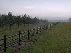
The site of Great Hiwassee
Great Hiwassee (Ayuhwasi Egwaha) was an important Overhill Cherokee town from the late 17th through the early 19th centuries. It was located on the Hiwassee River in present-day Polk County, Tennessee, on the north bank of the river where modern U.S. Route 411 crosses the river. The site is now part of the Tennessee Forestry Division's East Tennessee Nursery.
The town was linked to Great Tellico and Chota to the north, via the Great Indian Warpath, which followed Conasauga Creek into the mountains.
References
- Duncan, Barbara R. and Riggs, Brett H. Cherokee Heritage Trails Guidebook. University of North Carolina Press: Chapel Hill (2003). ISBN 0-8078-5457-3
- Mooney, James. "Myths of the Cherokee" (1900, reprint 1995). (see James Mooney)
This article is issued from Wikipedia - version of the 12/2/2015. The text is available under the Creative Commons Attribution/Share Alike but additional terms may apply for the media files.