Greater Bendigo National Park
| Greater Bendigo National Park Victoria | |
|---|---|
|
IUCN category II (national park) | |
|
Notley camping area, Greater Bendigo National Park. | |
 Greater Bendigo National Park | |
| Nearest town or city | Bendigo |
| Coordinates | 36°40′26″S 144°15′17″E / 36.67389°S 144.25472°ECoordinates: 36°40′26″S 144°15′17″E / 36.67389°S 144.25472°E |
| Established | 30 October 2002[1] |
| Area | 170 km2 (65.6 sq mi)[1] |
| Managing authorities | Parks Victoria |
| Website | Greater Bendigo National Park |
| See also | Protected areas of Victoria |
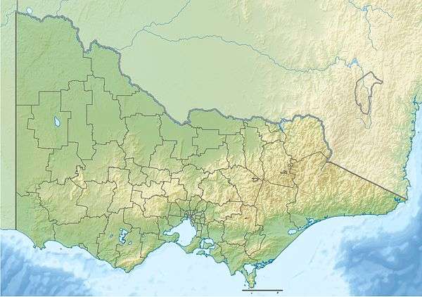
The Greater Bendigo National Park is a national park located in the Loddon Mallee region of Victoria, Australia.[2] The 17,020-hectare (42,100-acre) national park was created in 2002 from the former Whipstick State Park, Kamarooka State Park, One Tree Hill Regional Park, Mandurang State Forest and the Sandhurst State Forest.[3]
Much of the park lies within the Bendigo Box-Ironbark Region Important Bird Area, identified as such by BirdLife International because of its importance for swift parrots and other woodland birds.[4]
See also
References
- 1 2 "Greater Bendigo National Park Management Plan" (PDF). Parks Victoria (PDF). Government of Victoria. July 2007. p. 1. ISBN 978-0-7311-8362-3. Retrieved 16 August 2014.
- ↑ "Greater Bendigo National Park: Visitor Guide" (PDF). Parks Victoria (PDF). Government of Victoria. December 2010. Retrieved 16 August 2014.
- ↑ "Greater Bendigo National Park". users.mcmedia.com.au. 2010. Retrieved 4 July 2013.
- ↑ "IBA: Bendigo Box-Ironbark Region". Birdata. Birds Australia. Retrieved 23 October 2011.
This article is issued from Wikipedia - version of the 10/30/2016. The text is available under the Creative Commons Attribution/Share Alike but additional terms may apply for the media files.