Grofit
| Grofit גְּרוֹפִית | |
|---|---|
 | |
 Grofit | |
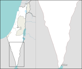
| Coordinates: 29°56′36.95″N 35°4′7.31″E / 29.9435972°N 35.0686972°ECoordinates: 29°56′36.95″N 35°4′7.31″E / 29.9435972°N 35.0686972°E | |
| District | Southern |
| Council | Hevel Eilot |
| Affiliation | Kibbutz Movement |
| Founded | 1963 |
| Founded by | Nahal |
| Population (2015)[1] | 262 |
| Name meaning | Shoot |
| Website | www.grofit.net |
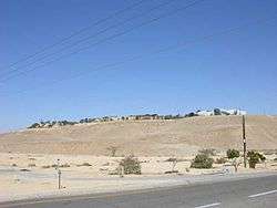
Grofit (Hebrew: גְּרוֹפִית, lit. Shoot (of a plant)) is a kibbutz in southern Israel. Located near Eilat in the Arabah region, it falls under the jurisdiction of Hevel Eilot Regional Council. In 2015 it had a population of 262.
History
The community was founded in 1963 as a Nahal settlement and is named after the Arabic name of the nearby Grofit Creek. In 1966 the kibbutz was settled by adults who had been members of the HaNoar HaOved VeHaLomed youth movement.[2]
Notable residents
- Moshe Ya'alon, Chief of Staff of the IDF from 2002 to 2005.
References
- ↑ "List of localities, in Alphabetical order" (PDF). Israel Central Bureau of Statistics. Retrieved 16 October 2016.
- ↑ Mapa's concise gazetteer of Israel (in Hebrew). Yuval El'azari (ed.). Tel-Aviv: Mapa Publishing. 2005. p. 584. ISBN 965-7184-34-7.
External links
- Official website (Hebrew)

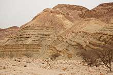
Ora Formation (Cretaceous) at Grofit Junction.
This article is issued from Wikipedia - version of the 8/7/2016. The text is available under the Creative Commons Attribution/Share Alike but additional terms may apply for the media files.