Húsar
| Húsar Husum | |
|---|---|
| village | |
 | |
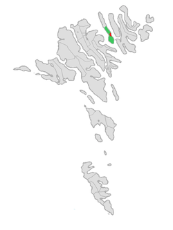
 Location of Húsa Municipality in the Faroe Islands | |
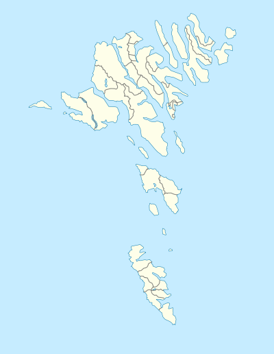
 Húsar Location of Húsar village in the Faroe Islands | |
| Coordinates: 62°15′54″N 6°40′53″W / 62.26500°N 6.68139°WCoordinates: 62°15′54″N 6°40′53″W / 62.26500°N 6.68139°W | |
| State |
|
| Constituent country |
|
| Island | Kalsoy |
| Municipality | Húsa Municipality |
| Population (1 January 2006) | |
| • Total | 53 |
| Time zone | GMT |
| • Summer (DST) | WEST (UTC+1) |
| Postal code | FO 796 |
| Climate | Cfc |
Húsar (Danish: Husum) is a village on the East side of Kalsoy, Faroe Islands.
It is the oldest of the villages on Kalsoy. The church, which is made of stone, was built in 1920.
Transportation
Húsar is connected to Klaksvík by a ferry that visits the village three times a day. From Húsar the other villages on the island can be reached by bus.
Húsar is also involved in fish farming, particularly the production of fry. The fry is grown for 1½ to 2 years. After that it is placed in sea farms where it will grow into fish. Húsar also has a cutler who produces exquisite handmade knives for whale slaughtering.
Gallery
See also
External links
- Faroeislands.dk: Húsar Images and description of all cities on the Faroe Islands.
This article is issued from Wikipedia - version of the 8/26/2016. The text is available under the Creative Commons Attribution/Share Alike but additional terms may apply for the media files.


