Jebel Umm Arafieb
| Jebel Umm Arafieb | |
|---|---|
 | |
| Highest point | |
| Coordinates | 18°10′0″N 33°50′0″E / 18.16667°N 33.83333°ECoordinates: 18°10′0″N 33°50′0″E / 18.16667°N 33.83333°E [1] |
| Geography | |
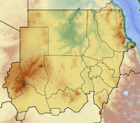 Jebel Umm Arafieb | |
| Geology | |
| Age of rock | Holocene? |
| Mountain type | Shield Volcano |
| Last eruption | Unknown [1] |
Jebel Umm Arafieb is a volcanic field in Sudan, also known as Jebel Umm Marafieb. [1]
References
- 1 2 3 "Global volcanism program". Retrieved 10 October 2011.
This article is issued from Wikipedia - version of the 10/8/2013. The text is available under the Creative Commons Attribution/Share Alike but additional terms may apply for the media files.