Kailaras
| Kailaras Kailash | |
|---|---|
| city | |
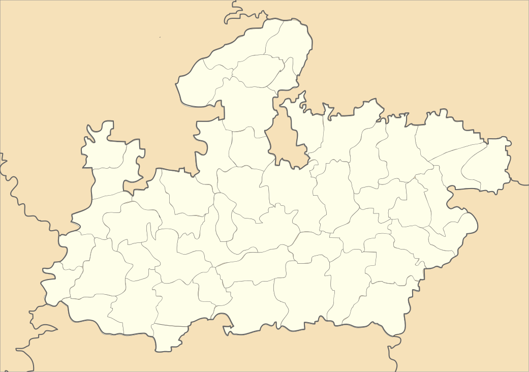 Kailaras  Kailaras Location in Madhya Pradesh, India | |
| Coordinates: 26°19′N 77°37′E / 26.32°N 77.62°ECoordinates: 26°19′N 77°37′E / 26.32°N 77.62°E | |
| Country |
|
| State | Madhya Pradesh |
| District | Morena |
| Elevation | 190 m (620 ft) |
| Population (2001) | |
| • Total | 21,930 |
| Languages | |
| • Official | Hindi |
| Time zone | IST (UTC+5:30) |
| PIN | 476224 |
| ISO 3166 code | IN-MP |
| Vehicle registration | MP-06 |
Kailaras is a town and a nagar panchayat in Morena district in the Indian state of Madhya Pradesh.
Geography
Kailaras is located at 26°19′N 77°37′E / 26.32°N 77.62°E.[1] It has an average elevation of 190 metres (623 feet). The Kuvari and Chambal Rivers run close to Kailaras city. There are many holy temples around Kailaras.
Demographics
According to the Indian census,[2] in 2001 Kailaras had a population of 21,930. Males constituted 54% of the population and females 46%. Kailaras had an average literacy rate of 73.9%, higher than the national average of 59.5%: male literacy was 73.9% and female literacy 58.8%.
Distance from large cities
- Hindaun City: 113 km
- Karauli: 95 km;
- Vijaypur: 57 km;
- Joura: 19 km;
- Mandrayal: 38 km;
- Gwalior: 83 km;
- Morena: 48 km;
- Sheopur: 168 km;
- Bhopal: 464 km;
- Agra: 127 km;
- New Delhi: 332 km;
- Sabalgarh: 22 km.
Industries in Kailaras
- GAIL compression plant
- Sugar factory (Reopening after 6 years)
Tourist place at kailaras
- ALOPI SHANKAR TEMPLE- It is situated at the top of hill. statues osLord shiva and lord krishna's present here.
A street is called alopi gali on the name of this temple is located in behind the police station and also a street is called Krishna Marg in front of govt. hospital ward no.2.
- BAHRARA TEMPLE- This famous temple is located near of kailaras. In this temple goddess Baharara's statue is present. goddess baharara is also known as pasar devi which is also mentioned in Mahabharat.
References
- ↑ Falling Rain Genomics, Inc - Kailaras
- ↑ "Census of India 2001: Data from the 2001 Census, including cities, villages and towns (Provisional)". Census Commission of India. Archived from the original on 2004-06-16. Retrieved 2008-11-01.