Katangi
| Katangi Katangi | |
|---|---|
| city | |
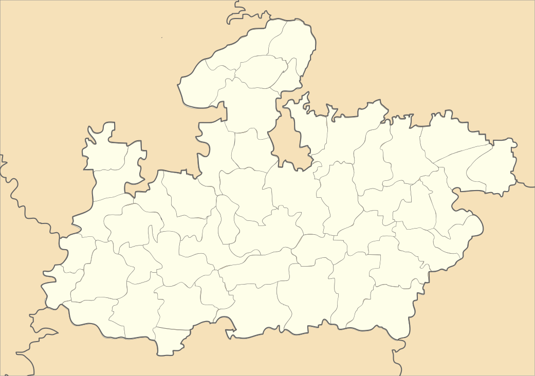 Katangi  Katangi Location in Madhya Pradesh, India | |
| Coordinates: 21°47′N 79°47′E / 21.78°N 79.78°ECoordinates: 21°47′N 79°47′E / 21.78°N 79.78°E | |
| Country |
|
| State | Madhya Pradesh |
| District | Balaghat |
| Elevation | 442 m (1,450 ft) |
| Population (2001) | |
| • Total | 14,760 |
| Languages | |
| • Official | Hindi |
| Time zone | IST (UTC+5:30) |
| PIN | 481445 |
| ISO 3166 code | IN-MP |
| Vehicle registration | MP |
Katangi is a town and a Nagar Palika Parishad in Balaghat District in the Indian state of Madhya Pradesh.
Geography
Katangi is located at 21°47′N 79°47′E / 21.78°N 79.78°E.[1] It has an average elevation of 442 metres (1450 feet).
Transportation
Katangi has better connectivity by Roads to Many Cities like Nagpur , Seoni , Tumsar , Bhandara & To the District Headquarters also i.e Balaghat Katangi also has Railways Connectivity ; It is connected to Gondia via Balaghat By Broad Gauge Network . There is also Connectivity to Nagpur by Tirodi - Tumsar line which is a Broad gauge Track ; which is Used for the Transportation of Magnese .
Tourist attraction
Katangi has so many tourist places including Nehlesara Dam , Jamuniya Dam ,Amma Mai Temple, Rajeev Sagar Dam which is Built across Bawanthadi River a Major Tributary of Wainganga River which is an Interstate Project of MP & Maharashtra.
Demographics
As of 2001 India census,[2] Katangi had a population of 14,760. Males constitute 50% of the population and females 50%. Katangi has an average literacy rate of 71%, higher than the national average of 59.5%: male literacy is 78%, and female literacy is 64%. In Katangi, 13% of the population is under 6 years of age. it is also famous for amba mai temple.
References
- ↑ Falling Rain Genomics, Inc - Katangi
- ↑ "Census of India 2001: Data from the 2001 Census, including cities, villages and towns (Provisional)". Census Commission of India. Archived from the original on 2004-06-16. Retrieved 2008-11-01.