Kenana Airport
| Kenana Airstrip | |||||||||||
|---|---|---|---|---|---|---|---|---|---|---|---|
| IATA: none – ICAO: HSKN | |||||||||||
| Summary | |||||||||||
| Airport type | Public | ||||||||||
| Serves | Sifeiya, Kenana Sugar Co. | ||||||||||
| Elevation AMSL | 1,288 ft / 393 m | ||||||||||
| Coordinates | 13°03′15″N 32°54′25″E / 13.05417°N 32.90694°ECoordinates: 13°03′15″N 32°54′25″E / 13.05417°N 32.90694°E | ||||||||||
| Map | |||||||||||
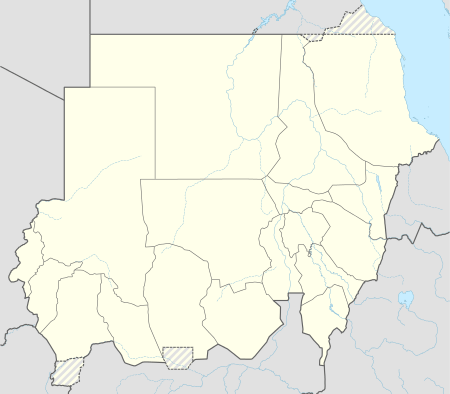 HSKN Location of the airport in Sudan | |||||||||||
| Runways | |||||||||||
| |||||||||||
|
Source: Google Maps[1] | |||||||||||
Kenana Airport (ICAO: HSKN ) is an airstrip serving the production site of Kenana Sugar Company,[2] approximately 20 kilometres (12 mi) southeast of Rabak in Sudan.
The Kenana (KNA) VOR-DME[3][4] lies 1 mile (1.6 km) south, off the end of the runway.
Sifeiya[5] is the community surrounding the airport, and adjacent to the sugar plantation.
See also
 Aviation portal
References
- Google Earth
External links
This article is issued from Wikipedia - version of the 12/5/2016. The text is available under the Creative Commons Attribution/Share Alike but additional terms may apply for the media files.