Kole Sur Lukenie Airport
| Kole Sur Lukenie Airport | |||||||||||
|---|---|---|---|---|---|---|---|---|---|---|---|
| IATA: none – ICAO: FZVC | |||||||||||
| Summary | |||||||||||
| Serves | Kole, DR Congo | ||||||||||
| Elevation AMSL | 1,542 m / 470 ft | ||||||||||
| Coordinates | 3°25′10″S 22°30′55″E / 3.41944°S 22.51528°ECoordinates: 3°25′10″S 22°30′55″E / 3.41944°S 22.51528°E | ||||||||||
| Map | |||||||||||
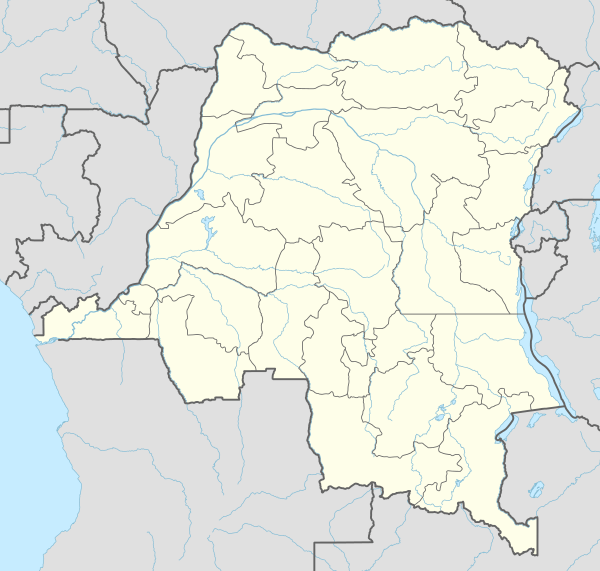 FZVC Location of Airport in the DR Congo | |||||||||||
| Runways | |||||||||||
| |||||||||||

On final approach at Kole sur Lukenie airfield
Kole Sur Lukenie Airport (ICAO: FZVC) is an airport serving Kole in Kasai-Oriental Province, Democratic Republic of the Congo. It is a dirt airstrip with 1,300 metres (4,300 ft) of usable length.[1][2]
Charter services
There are no regularly scheduled commercial or charter services to Kole. However, aid and missionary services like MAF and AirServ fly there on an irregular basis about a dozen times per year.
References
- ↑ Google Maps - Kole
- ↑ Airport information for FZVC at Great Circle Mapper.
External links
This article is issued from Wikipedia - version of the 12/4/2016. The text is available under the Creative Commons Attribution/Share Alike but additional terms may apply for the media files.