Kondoa Mjini
| Kondoa | |
|---|---|
| Town | |
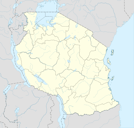 Kondoa Location in Tanzania | |
| Coordinates: 04°54′23″S 35°46′47″E / 4.90639°S 35.77972°E | |
| Country |
|
| Region | Dodoma Region |
| District | Kondoa District |
| Population (2012) | |
| • Total | 14,382 |
| Time zone | GMT + 3 |
Kondoa is a town and administrative ward (called Kondoa Mjini or Kondoa Urban) in the Kondoa District of the Dodoma Region of Tanzania. According to the 2012 Tanzania National Census, the population of Kondoa Ward was 14,382.[1] According to the 2002 census, the ward had a total population of 21,878.[2]
Kondoa Town is the district capital of Kondoa District. The local government buildings were mostly built during the German colonization. The town also has a district hospital, three O-Level Secondary schools, one A-Level school for girls, and an agricultural college. There is also a teachers' training college called Bustani (garden in Kiswahili) College. There is a local bank branch.
The climate is semi-arid. The rainy season is from late December to mid March, and receives little to no precipitation the rest of the year. The weather is mostly hot. The town has a hot spring that provides drinking water for many inhabitants. There is also a river that runs through the town, though in the dry months there is almost no water above ground. There is a good bridge over the river.
The Irangi tribe is the most populous ethnic group in Kondoa, and their native language is Kirangi. As it was a stop on an ancient caravan road, Kondoa has a sizeable non-Irangi minority.
The town is about 70% Muslim and 30% Christian, with aboriginal religions virtually extinct. Relations between religious groups are good.
Transport
Trunk road T5 from Dodoma to Babati passes through the town.[3]
References
- ↑ "Census 2012". National Bureau of Statistics. Retrieved 21 July 2016.
- ↑ "2002 Population and Housing Census General Report". Government of Tanzania. Archived from the original on 2004-01-02. Retrieved 2008-11-01.
- ↑ "Dodoma Roads Network" (PDF). Tanroads. Retrieved 17 June 2016.
Coordinates: 4°54′0″S 35°46′12″E / 4.90000°S 35.77000°E