Koulikoro
For the place in Ivory Coast, see Koulikoro, Ivory Coast.
| Koulikoro | |
|---|---|
| Commune and town | |
|
View over Koulikoro | |
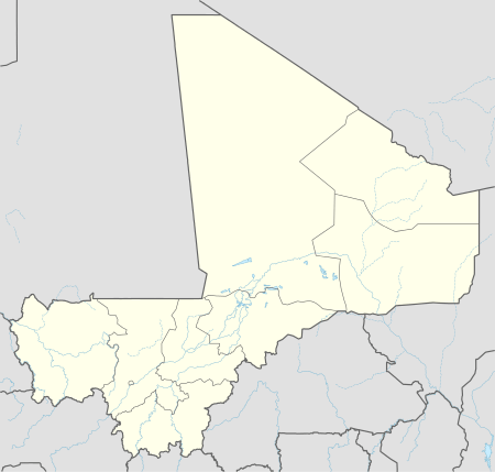
 Koulikoro Location within Mali | |
| Coordinates: 12°51′40″N 7°33′30″W / 12.86111°N 7.55833°WCoordinates: 12°51′40″N 7°33′30″W / 12.86111°N 7.55833°W | |
| Country |
|
| Rgion | Koulikoro |
| Cercle | Koulikoro Cercle |
| Urban Commune | Koulikoro |
| Population (2009 census)[1] | |
| • Total | 43,174 |
| Time zone | GMT (UTC+0) |
Koulikoro is a town and urban commune in Mali. The capital of the Koulikoro Region, Koulikoro is located on banks of the Niger River, 59 kilometres (37 mi) downstream from Mali's capital Bamako.
Koulikoro is the terminus of the Dakar-Niger Railway which was completed in 1905. Between August and November, at the end of the rainy season, goods are transported down the Niger River to Ségou, Mopti, Tombouctou and Gao. Navigation is not possible upstream of Koulikoro because of the Sotuba Rapids near Bamako.
Sister cities
References
- ↑ Resultats Provisoires RGPH 2009 (Région de Koulikoro) (PDF) (in French), République de Mali: Institut National de la Statistique.
- 1 2 "Verein für Städtepartnerschaft und Zusammenarbeit Bous e.V." (in German). Retrieved 2014-03-16.
External links
- Plan de Sécurité Alimentaire Commune Urbaine de Koulikoro 2008-2012 (PDF) (in French), Commissariat à la Sécurité Alimentaire, République du Mali, USAID-Mali, 2008.
 Koulikoro (city) travel guide from Wikivoyage
| Wikimedia Commons has media related to Koulikoro. |
This article is issued from Wikipedia - version of the 12/4/2015. The text is available under the Creative Commons Attribution/Share Alike but additional terms may apply for the media files.

