La‘l
This article is about the town. For the administrative district, see La‘l wa Sar Jangal District. For places in Iran, see La'l, Iran.
| La‘l [1] لعل La‘l wa Sar Jangal[2] Qaryeh-ye La‘l[3] | |
|---|---|
| town | |
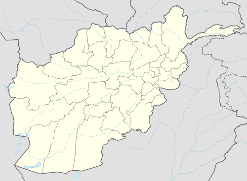 La‘l Location in Afghanistan | |
| Coordinates: 34°30′05″N 66°16′48″E / 34.50139°N 66.28000°ECoordinates: 34°30′05″N 66°16′48″E / 34.50139°N 66.28000°E | |
| Country |
|
| Province | Ghor Province |
| District | Lal Wa Sarjangal District |
| Elevation | 9,390 ft (2,862 m) |
| Time zone | UTC+4:30 |
La‘l[4] (La‘l wa Sar Jangal[2]) is a town in and the administrative center of Lal Wa Sarjangal District, Ghor Province, Afghanistan.
Notes
- ↑ لعل (Native Script) at GEOnet Names Server, United States National Geospatial-Intelligence Agency
- 1 2 La‘l wa Sar Jangal (Variant) at GEOnet Names Server, United States National Geospatial-Intelligence Agency
- ↑ Qaryeh-ye La‘l (Variant) at GEOnet Names Server, United States National Geospatial-Intelligence Agency
- ↑ La‘l (Approved) at GEOnet Names Server, United States National Geospatial-Intelligence Agency
This article is issued from Wikipedia - version of the 11/5/2013. The text is available under the Creative Commons Attribution/Share Alike but additional terms may apply for the media files.