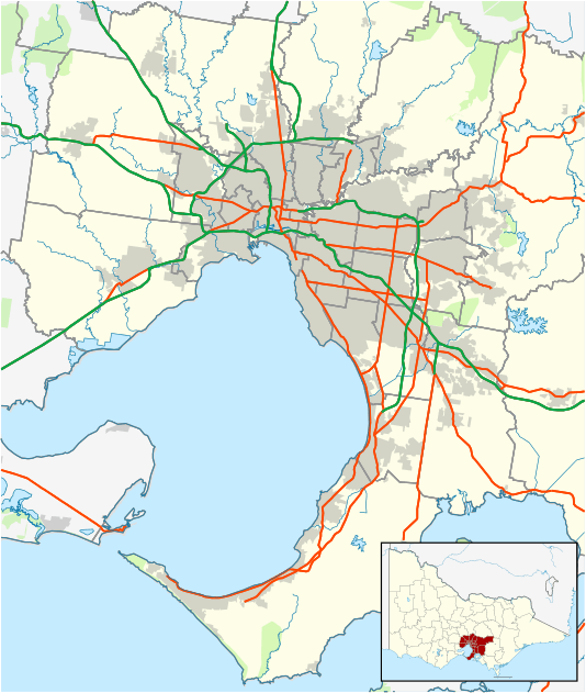
Laverton North, Victoria
| Laverton North Melbourne, Victoria | |||||||||||||
|---|---|---|---|---|---|---|---|---|---|---|---|---|---|
 Laverton North | |||||||||||||
| Coordinates | 37°49′48″S 144°47′06″E / 37.83°S 144.785°ECoordinates: 37°49′48″S 144°47′06″E / 37.83°S 144.785°E | ||||||||||||
| Population | 91 (2011 census)[1] | ||||||||||||
| • Density | 6.07/km2 (15.7/sq mi) | ||||||||||||
| Postcode(s) | 3026 | ||||||||||||
| Area | 15 km2 (5.8 sq mi) | ||||||||||||
| Location | 18 km (11 mi) from Melbourne | ||||||||||||
| LGA(s) | City of Wyndham | ||||||||||||
| State electorate(s) | Tarneit | ||||||||||||
| Federal Division(s) | |||||||||||||
| |||||||||||||
Laverton North is a rural-urban fringe suburb of Melbourne, Victoria, Australia, 18 km west of Melbourne's central business district. Its local government area is the City of Wyndham. At the 2011 Census, Laverton North had a population of 91.
Bounded by Boundary Road to the north, Derrimut Road and the Federation Trail to the west, Old Geelong Road and the West Gate Freeway to the south and Kororoit Creek to the east, it is predominantly an industrial suburb.
Demographics
In the 2011 census, 69.23% were born in Australia, 9.89% New Zealand, 4.4% Malta, 3.3% United Kingdom and 13.18% in other countries.
50.55% claimed Christianity, 30.77% claimed other or no religion, 3.3% Buddhism and 3.3% claimed Hinduism.
References
- ↑ Australian Bureau of Statistics (31 October 2012). "Laverton North (State Suburb)". 2011 Census QuickStats. Retrieved 28 June 2012.
This article is issued from Wikipedia - version of the 8/9/2015. The text is available under the Creative Commons Attribution/Share Alike but additional terms may apply for the media files.