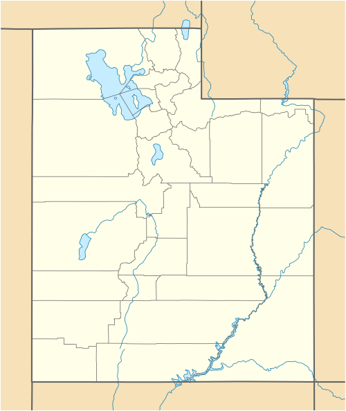
Lime Kilns (Eureka, Utah)
|
Lime Kilns | |
  | |
| Nearest city | Eureka, Utah |
|---|---|
| Coordinates | 39°58′40″N 112°4′37″W / 39.97778°N 112.07694°WCoordinates: 39°58′40″N 112°4′37″W / 39.97778°N 112.07694°W |
| Area | less than one acre |
| Built | 1920 |
| MPS | Tintic Mining District MRA |
| NRHP Reference # | 79003490[1] |
| Added to NRHP | March 14, 1979 |
The Lime Kilns located at the western end of Homansville Canyon near Eureka, Utah, were part of a lime quarry in the 1920s. The kilns were listed on the National Register of Historic Places in 1979. The listing included one contributing site and two contributing structures: two lime kilns that are approximately 8 feet (2.4 m) in diameter and 30 to 40 feet (9.1 to 12.2 m) deep.[1][2][3]
See also
- Beck No. 2 Mine, Eureka, Utah, NRHP-listed
- Charcoal Kilns, Eureka, Utah, NRHP-listed
- Soldier Creek Kilns, Stockton, Utah, NRHP-listed
- Frisco Charcoal Kilns, Milford, Utah, NRHP-listed
References
- 1 2 National Park Service (2010-07-09). "National Register Information System". National Register of Historic Places. National Park Service.
- ↑ Philip F. Natarianni (October 1977). "National Register of Historic Places Inventory/Nomination: Historic Resources of the Tintic Mining District: Lime Kilns" (PDF). National Park Service. and accompanying photos
- ↑ Philip. F. Notarianni (October 1977). "National Register of Historic Places Inventory/Nomination: Historic Resources of the Tintic Mining District (Partial Inventory: Historic and Architectural Properties) (incomplete)" (PDF).
This article is issued from Wikipedia - version of the 11/29/2016. The text is available under the Creative Commons Attribution/Share Alike but additional terms may apply for the media files.