Lincoln, New York
| Lincoln, New York | |
|---|---|
| Town | |
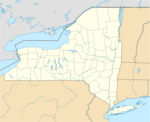 Lincoln, New York Location within the state of New York | |
| Coordinates: 43°2′30″N 75°44′21″W / 43.04167°N 75.73917°WCoordinates: 43°2′30″N 75°44′21″W / 43.04167°N 75.73917°W | |
| Country | United States |
| State | New York |
| County | Madison |
| Government | |
| • Type | Town Council |
| • Town Supervisor | Darrin P. Ball (R) |
| • Town Council |
Members' List
|
| Area | |
| • Total | 25.0 sq mi (64.7 km2) |
| • Land | 25.0 sq mi (64.7 km2) |
| • Water | 0.0 sq mi (0.1 km2) |
| Elevation | 1,017 ft (310 m) |
| Population (2010) | |
| • Total | 2,012 |
| Time zone | Eastern (EST) (UTC-5) |
| • Summer (DST) | EDT (UTC-4) |
| ZIP code | 13043 |
| Area code(s) | 315 |
| FIPS code | 36-42422 |
| GNIS feature ID | 0979152 |
Lincoln is a town in Madison County, New York, United States. The population was 2,012 at the 2010 census.
The Town of Lincoln is in the north-central part of the county.
History
The town was established in 1896 from a division of the Town of Lenox. The Klock family were early settlers.
The former Lenox District No. 4 Schoolhouse houses the Lincoln town hall. It was added to the National Register of Historic Places in 1996.[1]
Geography
According to the United States Census Bureau, the town has a total area of 25.0 square miles (65 km2), of which, 25.0 square miles (65 km2) of it is land and 0.04 square miles (0.10 km2) of it (0.12%) is water.
Demographics
| Historical population | |||
|---|---|---|---|
| Census | Pop. | %± | |
| 1900 | 1,052 | — | |
| 1910 | 985 | −6.4% | |
| 1920 | 821 | −16.6% | |
| 1930 | 869 | 5.8% | |
| 1940 | 853 | −1.8% | |
| 1950 | 924 | 8.3% | |
| 1960 | 1,102 | 19.3% | |
| 1970 | 1,168 | 6.0% | |
| 1980 | 1,722 | 47.4% | |
| 1990 | 1,669 | −3.1% | |
| 2000 | 1,818 | 8.9% | |
| 2010 | 2,012 | 10.7% | |
| Est. 2014 | 1,992 | [2] | −1.0% |
As of the census[4] of 2000, there were 1,818 people, 663 households, and 493 families residing in the town. The population density was 72.8 people per square mile (28.1/km²). There were 700 housing units at an average density of 28.0 per square mile (10.8/km²). The racial makeup of the town was 97.96% White, 0.22% African American, 0.55% Native American, 0.39% Asian, 0.33% from other races, and 0.55% from two or more races. Hispanic or Latino of any race were 0.66% of the population.
There were 663 households out of which 35.1% had children under the age of 18 living with them, 62.7% were married couples living together, 6.9% had a female householder with no husband present, and 25.5% were non-families. 19.2% of all households were made up of individuals and 4.7% had someone living alone who was 65 years of age or older. The average household size was 2.74 and the average family size was 3.11.
In the town the population was spread out with 26.1% under the age of 18, 6.6% from 18 to 24, 31.8% from 25 to 44, 26.4% from 45 to 64, and 9.1% who were 65 years of age or older. The median age was 37 years. For every 100 females there were 108.5 males. For every 100 females age 18 and over, there were 106.1 males.
The median income for a household in the town was $46,023, and the median income for a family was $50,000. Males had a median income of $35,625 versus $25,821 for females. The per capita income for the town was $20,751. About 3.6% of families and 5.1% of the population were below the poverty line, including 5.5% of those under age 18 and 8.2% of those age 65 or over.
Communities and locations in Lincoln
- Alene – A hamlet by the south town line.
- Clockville – This hamlet is the main community in the town and is named after the Klock family, early settlers. It is the location of the Lincoln Town Hall.
- Cotton –
- Lenox Furnace –
- Perryville – A hamlet on the town line in the southwest corner of the town.
References
- ↑ National Park Service (2009-03-13). "National Register Information System". National Register of Historic Places. National Park Service.
- ↑ "Annual Estimates of the Resident Population for Incorporated Places: April 1, 2010 to July 1, 2014". Retrieved June 4, 2015.
- ↑ "Census of Population and Housing". Census.gov. Retrieved June 4, 2015.
- ↑ "American FactFinder". United States Census Bureau. Retrieved 2008-01-31.