List of Indiana state historical markers in Gibson County
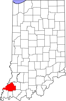
Location of Gibson County in Indiana
This is a list of the Indiana state historical markers in Gibson County.
This is intended to be a complete list of the official state historical markers placed in Gibson County, Indiana, United States by the Indiana Historical Bureau. The locations of the historical markers and their latitude and longitude coordinates are included below when available, along with their names, years of placement, and topics as recorded by the Historical Bureau. There are 2 historical markers located in Gibson County.[1]
Historical markers
| Marker title | Image | Year placed | Location | Topics |
|---|---|---|---|---|
| Lyles Station[2] |  |
2002 | Along County Road 500W near its junction with County Road 100N in front of the restored Lyles Consolidated School, 1 mile north of the junction of State Roads 64 and 65, 5 miles west of Princeton 38°22′11″N 87°39′36″W / 38.36972°N 87.66000°W |
African American, Historic District, Neighborhoods, and Towns |
| James Washington Cockrum[3] | 2005 | 411 W. Oak St. in Oakland City 38°20′16″N 87°21′0″W / 38.33778°N 87.35000°W |
Underground Railroad, African American |
See also
- List of Indiana state historical markers
- National Register of Historic Places listings in Gibson County, Indiana
References
- ↑ "Indiana Historical Markers by County". State of Indiana. Retrieved 2012-03-15.
- ↑ Lyles Station, Indiana Historical Bureau, n.d. Accessed 2012-03-14.
- ↑ James Washington Cockrum, Indiana Historical Bureau, n.d. Accessed 2012-03-14.
External links
Municipalities and communities of Gibson County, Indiana, United States | ||
|---|---|---|
| Cities | | |
| Towns | ||
| Townships | ||
| Unincorporated communities | ||
| Ghost town | ||
This article is issued from Wikipedia - version of the 3/22/2013. The text is available under the Creative Commons Attribution/Share Alike but additional terms may apply for the media files.