Manhay, Cornwall
Coordinates: 50°07′37″N 5°13′52″W / 50.127°N 5.231°W
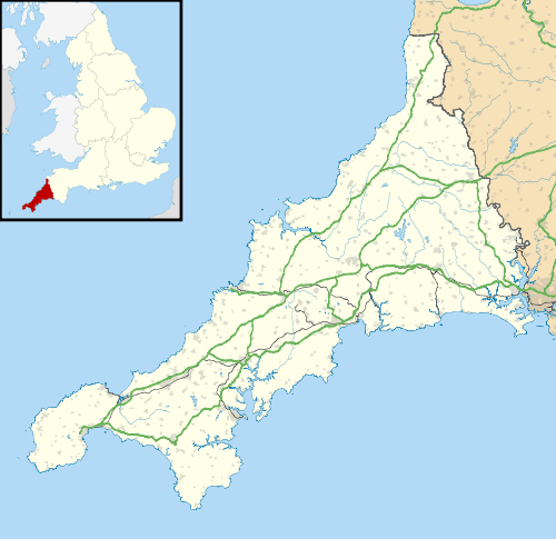
Manhay is a hamlet in the parish of Wendron in south Cornwall, England, UK.[1][2] Manhay is approximately 12 miles (19 km) east of Penzance.[3]
References
Cornwall Portal | |
| Unitary authorities | |
| Major settlements |
|
| Rivers | |
| Topics | |
This article is issued from Wikipedia - version of the 1/30/2016. The text is available under the Creative Commons Attribution/Share Alike but additional terms may apply for the media files.