Monte Forcola
| Monte Forcola | |
|---|---|
 Monte Forcola (left) and Cuclèr da Jon dad Onsch (centre) | |
| Highest point | |
| Elevation | 2,906 m (9,534 ft) |
| Prominence | 141 m (463 ft) [1] |
| Parent peak | Piz Umbrail |
| Coordinates | 46°33′26.9″N 10°21′02.2″E / 46.557472°N 10.350611°ECoordinates: 46°33′26.9″N 10°21′02.2″E / 46.557472°N 10.350611°E |
| Geography | |
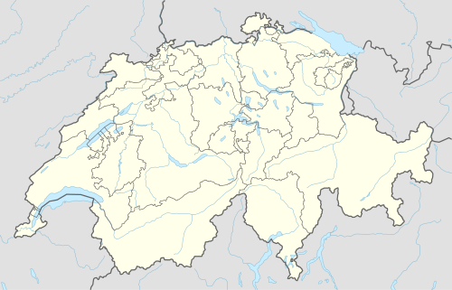 Monte Forcola Location in Switzerland | |
| Location |
Graubünden, Switzerland (mountain partially in Italy) |
| Parent range | Ortler Alps |
Monte Forcola (2,906 m) is a peak in Graubünden, Switzerland, close to the Italian border. Approximately 200 metres south of the summit (at the Italian border) is located the triple watershed of the Adige, Po and Danube basins (2,896 m).
References
External links
This article is issued from Wikipedia - version of the 1/28/2016. The text is available under the Creative Commons Attribution/Share Alike but additional terms may apply for the media files.