Mount Paraw
| Parâw | |
|---|---|
 Parâw covered with snow. from top of Mount Meywala | |
| Highest point | |
| Elevation | 3,415 m (11,204 ft) [1] |
| Listing | Three thousanders |
| Coordinates | 34°23′31″N 47°14′13″E / 34.392°N 47.237°ECoordinates: 34°23′31″N 47°14′13″E / 34.392°N 47.237°E |
| Geography | |
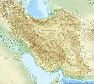 Parâw Location in Iran | |
| Location | NE Kermanshah , Kermanshah Province |
| Parent range | Zagros |
| Climbing | |
| First ascent | 1970 by an English exploration team |
| Easiest route | Chalabeh village |
Parâw (Kurdish:پهڕاو) is a mount located in north east of Kermanshah city in west of Iran.Parâw With an approximate length of 80 km and an area of 880 square kilometers is part of the Zagros Mountains.[2]
Geology
The mount was withdrawn during the third period of Geology (Tertiary) And in the fourth period (Quaternary) assumed its present form. Material of rocks are mainly sedimentary and limestone. This has caused a lot of caves and wells in the mountains arise.[3]
References
- ↑ http://www.zagroskooh.ir/post-241.aspx
- ↑ "قلل و حدود جادهای کوهستان پراو". Wikiloc - Rutas y puntos de interés GPS del Mundo.
- ↑ "قلل و حدود جادهای کوهستان پراو". Wikiloc - Rutas y puntos de interés GPS del Mundo.
This article is issued from Wikipedia - version of the 9/6/2016. The text is available under the Creative Commons Attribution/Share Alike but additional terms may apply for the media files.