Muffin Butte
| Muffin Butte | |
|---|---|
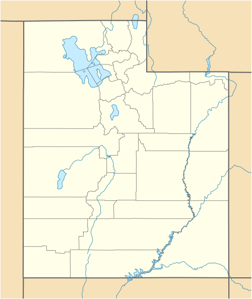
 Muffin Butte Location in Utah | |
| Highest point | |
| Elevation | 6,155 ft (1,876 m) NGVD 29[1] |
| Prominence | 135 ft (41 m) [1] |
| Coordinates | 38°22′38″N 109°52′28″W / 38.3772064°N 109.8745668°WCoordinates: 38°22′38″N 109°52′28″W / 38.3772064°N 109.8745668°W [2] |
| Geography | |
| Location | San Juan County, Utah, U.S. |
| Topo map | USGS Musselman Arch |
Muffin Butte is a summit in San Juan County, Utah, in the United States.[2] The butte with an elevation of 6,155 feet (1,876 m), is located in the Island in the Sky district of Canyonlands National Park and affords views of Soda Springs Basin and the Green River.
Muffin Butte has been noted for its unusual place name.[3]
References
- 1 2 "Muffin Butte UT". ListsOfJohn.com. Retrieved 2016-04-21.
- 1 2 "Muffin Butte". Geographic Names Information System. United States Geological Survey. Retrieved 2016-04-21.
- ↑ Kolpas, Norman (14 March 2005). Practically Useless Information on Food and Drink. Thomas Nelson Inc. p. 99. ISBN 978-1-4185-5389-0.
This article is issued from Wikipedia - version of the 11/3/2016. The text is available under the Creative Commons Attribution/Share Alike but additional terms may apply for the media files.