Naukent
| Naukent | |
|---|---|
 Naukent | |
| Coordinates: 41°3′0″N 72°33′36″E / 41.05000°N 72.56000°ECoordinates: 41°3′0″N 72°33′36″E / 41.05000°N 72.56000°E | |
| Country |
|
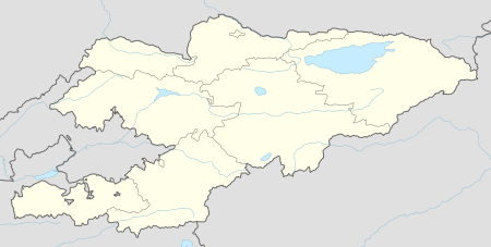
| Region | Jalal-Abad Region |
| Elevation | 604 m (1,982 ft) |
| Time zone | UTC +5 |
Naukent is a small town in Jalal-Abad Region of Kyrgyzstan. It lies along the M41 highway, about 40 kilometres (25 mi) northeast of Andijon, Uzbekistan, just northwest of Arimdzhan and southwest of Massy and east of Sayak. It lies in close proximity to the Uzbek border and was part of Ferghana Oblast in the Uzbek SSR.[1][2]Historically it had a citadel due to its strategical location, which was taken by Shahbaz.[3]
References
- ↑ Prokhorov, Aleksandr Mikhaĭlovich (1982). Great Soviet encyclopedia. Macmillan. p. 246. Retrieved 11 July 2011.
- ↑ Institut zur Erforschung der UdSSR. (1968). Prominent personalities in the USSR. Scarecrow Press. p. 425. Retrieved 11 July 2011.
- ↑ Babur (Emperor of Hindustan); Wheeler McIntosh Thackston (11 January 1996). The Baburnama: memoirs of Babur, prince and emperor. Freer Gallery of Art. ISBN 978-0-19-509671-2. Retrieved 11 July 2011.
This article is issued from Wikipedia - version of the 10/16/2016. The text is available under the Creative Commons Attribution/Share Alike but additional terms may apply for the media files.