New Cuyama Airport
| New Cuyama Airport | |||||||||||
|---|---|---|---|---|---|---|---|---|---|---|---|
| IATA: none – ICAO: none – FAA LID: L88 | |||||||||||
| Summary | |||||||||||
| Airport type | Public use | ||||||||||
| Owner | Zannon Family Foundation | ||||||||||
| Serves | New Cuyama, California | ||||||||||
| Elevation AMSL | 2,203 ft / 671 m | ||||||||||
| Coordinates | 34°56′24″N 119°41′08″W / 34.94000°N 119.68556°WCoordinates: 34°56′24″N 119°41′08″W / 34.94000°N 119.68556°W | ||||||||||
| Map | |||||||||||
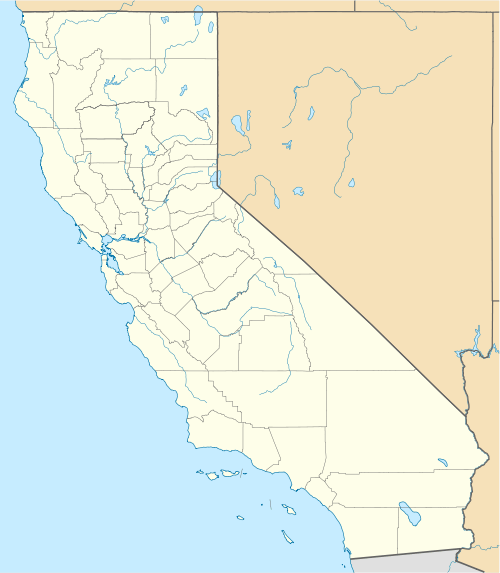 L88 Location of airport in California | |||||||||||
| Runways | |||||||||||
| |||||||||||
| Statistics (2011) | |||||||||||
| |||||||||||
New Cuyama Airport (FAA LID: L88) is a privately owned, public use airport located in New Cuyama, in Santa Barbara County, California, United States.[1]
Facilities and aircraft
New Cuyama Airport covers an area of 308 acres (125 ha) at an elevation of 2,203 feet (671 m) above mean sea level. It has one runway designated 10/28 with an asphalt surface measuring 3,940 by 60 feet (1,201 x 18 m).[1]
For the 12-month period ending November 7, 2011, the airport had 500 general aviation aircraft operations, an average of 41 per month.[1]
General condition
The airport was reopened in May 2015.[2][3] One pilot reports that "the runway is repaved and in good condition, however the parking area is a little rough."[4]
References
- 1 2 3 4 FAA Airport Master Record for L88 (Form 5010 PDF). Federal Aviation Administration. Effective November 15, 2012.
- ↑ http://generalaviationnews.com/2015/05/16/new-cuyama-airport-reopens/
- ↑ http://sbaero.com/2015/05/10/l88-new-cuyama/
- ↑ http://www.airnav.com/airport/L88/BLUE_SKY_CENTER
External links
- Photos of the New Cuyama Airport and City
- Aerial image as of May 1994 from USGS The National Map
- Resources for this airport:
- FAA airport information for L88
- AirNav airport information for L88
- FlightAware airport information and live flight tracker
- SkyVector aeronautical chart for L88
This article is issued from Wikipedia - version of the 12/4/2016. The text is available under the Creative Commons Attribution/Share Alike but additional terms may apply for the media files.