Ninstints
| Ninstints | |
|---|---|
| S'G̱ang Gwaay Llanagaay | |
|
A former Haida village at the site | |
| Location | Haida Gwaii, North Coast of British Columbia, Canada |
| Coordinates | 52°05′56″N 131°13′03″W / 52.098889°N 131.2175°WCoordinates: 52°05′56″N 131°13′03″W / 52.098889°N 131.2175°W |
| Official name: Nan Sdins National Historic Site of Canada | |
| Designated | 1981 |
| Official name: SG̱ang Gwaay | |
| Type | Cultural |
| Criteria | iii |
| Designated | 1981 (5th session) |
| Reference no. | 157 |
| State Party | Canada |
| Region | Europe and North America |
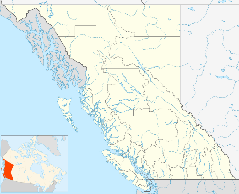
 Location of Ninstints in British Columbia | |
Ninstints is the usual name in English for S'G̱ang Gwaay Llanagaay ("Red Cod Island"), a village site of the Haida people and part of the Gwaii Haanas National Park Reserve and Haida Heritage Site in Haida Gwaii on the North Coast of British Columbia, Canada.
The village site is a World Heritage Site, and a National Historic Site of Canada.[1]
Name
The name of the village site is also spelled Nan Sdins and also called Skungwai or S'G̱ang Gwaay, which is the Haida name for Anthony Island, where the village is located and means "Red Cod Island".[2] During the late 18th and early 19th centuries the village was referred to as Koyahs or Coyahs, also rendered Quee-ah, after the chief at the time, Koyah. The name "Ninstints", also spelled "Nan Sdins," was the name of the most powerful of the village's chiefs in the mid-19th century and came to be used as the village's name as a result of the practice of ship captains to refer to villages by the name of the headman or chief at the location.[3]
Village site
The village was the southernmost of Haida villages, being just west of and facing Kunghit Island, the southernmost island in the archipelago. Ninstints today features the largest collection of Haida totem poles in their original locations, many celebrated as great works of art, though they are being allowed to succumb to the natural decay of the lush temperate rainforest climate. Images of the ruins of Ninstints are emblematic of Haida culture and of the Queen Charlotte Islands and are featured in tourism promotions for the islands and the province at large. The site is extremely remote, and access is only by sea or air from towns in the northern part of the islands. One of the chiefs, named Ninstints, whose English name was Thomas Price, was a noted and highly artistic carver of Haida art, notably in Haida Argillite Carvings.
The people of Ninstints are sometimes referred to as the Kunghit-Haida.
History
Ninstints was the location of several episodes in the early history of white contact with the isles. During the maritime fur trade era the village was visited in 1787 by George Dixon, 1788 by Charles Duncan, and twice in 1789 first by Robert Gray then by Gray's partner John Kendrick.[3] It is thought that Koyah's humiliation by Kendrick in 1789 and 1791 is thought to have hurt his prestige in Haida society and resulted in the rise of the Ninstints lineage by the mid-19th century. Koyah was probably killed during an attack on the sloop Union, under John Boit, in 1795.[3]
The traditional Haida enemies of the chiefs of Ninstints were the chiefs of Skidegate, and a loose alliance with the Tsimshian of Kitkatla, also an enemy of Skidegate, was maintained, with the Ninstints lineage being conferred the Mountain Goat Crest from the allied Tsimshian chief.
Ninstints was greatly reduced by the smallpox epidemic of 1862. The population continued to decline due to other introduced diseases. Sometime around 1885 the remnants of the Ninstints people abandoned the village and moved to Skidegate.[4]
See also
References
- ↑ "Nan Sdins National Historic Site of Canada". Directory of Designations of National Historic Significance of Canada. Parks Canada. Retrieved 28 January 2012.
- ↑ "Ninstints". BC Geographical Names.
- 1 2 3 Koyah, Dictionary of Canadian Biography Online
- ↑ Report for the Year 1957, Provincial Museum of Natural History and Anthropology, Province of British Columbia Department of Education
External links
Further reading
- MacDonald, George F. (1983). Ninstints, Haida World Heritage Site. University of British Columbia Press. ISBN 978-0-7748-0163-8.
