Okongo
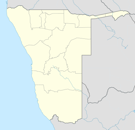
Okongo is a village in the Ohangwena Region of northern Namibia, situated about 120 kilometres (75 mi) east of Eenhana.[1] It is the district capital of Okongo Constituency.
The area is sandy and forested, limiting road access to the village. The most commonly spoken language in the area is Oshiwambo. Most residents are subsistence farmers.
History
Okongo was settled by the San people, who, as a hunter-gatherer community, found the local abundance of wildlife and fruit attractive. The name Okongo derives from the Oshiwambo word meaning: a place or forest for hunting..
The San were eventually displaced in Okongo by the immigration of Bantu people.
Politics
Okongo is governed by a village council that currently has five seats.[2]
Economy and infrastructure
Health services
Okongo has a 62-bed hospital equipped with a mortuary and accommodation for nurses. There is also a New Start Center in Okongo that provides HIV testing.
Education
Okongo has two pre-primary schools, one primary school (Okongo Primary School), a combined school (Elia Weyulu Combined School) and a secondary school (Oshela Senior Secondary School). Access to educational technology is limited in the village.
Development
There is now a tarred road that runs from Eenhana to Okongo and continued to Nkurenkuru. The Women's Action for Development (WAD) group conducted a project aimed at skills transfer to local women. A total of about 120 unemployed women graduated from this program in 2010.[3]
Structures
- 230 metres high radio mast at 17 37 52S 17 23 24E, one of the tallest structures in Namibia
References
- ↑ "Okongo Map — Satellite Images of Okongo".
- ↑ "Know Your Local Authority". Election Watch (3). Institute for Public Policy Research. 2015. p. 4.
- ↑ "Unemployed Okongo Women Graduates". Namibia Economist. allafrica.com. 24 September 2010. Retrieved 6 April 2011.
