Omkareshwar Dam
| Omkareshwar Dam | |
|---|---|
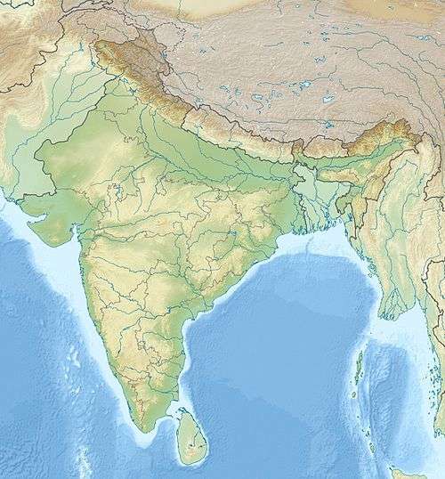
 Location of Omkareshwar Dam in India | |
| Country | India |
| Location | Mandhata, Khandwa district, Madhya Pradesh |
| Coordinates | 22°14′37.26″N 76°9′46.83″E / 22.2436833°N 76.1630083°ECoordinates: 22°14′37.26″N 76°9′46.83″E / 22.2436833°N 76.1630083°E |
| Construction began | 2003 |
| Opening date | 2007 |
| Construction cost | 3539.16 Crores |
| Operator(s) | NVDA |
| Dam and spillways | |
| Type of dam | Gravity |
| Impounds | Narmada River |
| Height | 33 m (108 ft) |
| Length | 949 m (3,114 ft) |
| Reservoir | |
| Total capacity | 141,547.8 m3 (115 acre·ft) |
| Active capacity | 27,877 m3 (23 acre·ft) |
| Catchment area | 64,880 km2 (25,050 sq mi) |
| Power station | |
| Commission date | 2007 |
| Turbines | 8 × 65 MW Francis-type |
| Installed capacity | 520 MW |
The Omkareshwar Dam is a gravity dam on the Narmada River just upstream of Mandhata in Khandwa district, Madhya Pradesh, India. It is named after the Omkareshwar temple located just downstream. The dam was constructed between 2003 and 2007 with the purpose of providing water for irrigation of 132,500 ha (327,000 acres). An associated hydroelectric power station located at the base of the dam has an installed capacity of 520 MW.[1][2]
References
- ↑ "Omkareshwar Power Station". NHDC Limited. Retrieved 19 February 2015.
- ↑ "Salient Features of Omkareshwar Project" (PDF). NVDA. Retrieved 19 February 2015.
This article is issued from Wikipedia - version of the 6/16/2016. The text is available under the Creative Commons Attribution/Share Alike but additional terms may apply for the media files.