Pandariya
| Pandariya (Often written as Pandaria) | |
|---|---|
| town | |
 Pandariya (Often written as Pandaria) 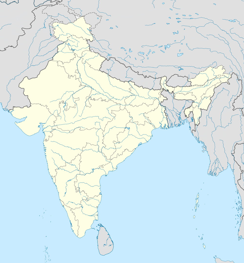 Pandariya (Often written as Pandaria) Location in Chhattisgarh, India | |
| Coordinates: 22°14′N 81°25′E / 22.23°N 81.42°ECoordinates: 22°14′N 81°25′E / 22.23°N 81.42°E | |
| Country |
|
| State | Chhattisgarh |
| District | Kabirdham |
| Elevation | 348 m (1,142 ft) |
| Population (2001) | |
| • Total | 12,453 |
| Languages | |
| • Official | Hindi, Chhattisgarhi |
| Time zone | IST (UTC+5:30) |
| Vehicle registration | CG |
Pandariya is a town and a nagar panchayat in Kabirdham district in the Indian state of Chhattisgarh.
Geography
Pandariya is located at 22°14′N 81°25′E / 22.23°N 81.42°E.[1] It has an average elevation of 348 m (1,142 ft).
Education
There are a number of small schools for earlier education in Pandaria, out of which few are as follows: Saraswati Shishu Mandir, Government Girls Higher Secondary School, Government Boys Higher Secondary School, Bharitya Vidya Peeth, Vidyasagar Vidyalaya, Sunrise Public School, Ambition Public School. There is only one college named as Government Art College in Pandaria.
Demographics
As of 2001 India census,[2] Pandariya had a population of 12,453. Males constitute 51% of the population and females 49%. Pandariya has an average literacy rate of 59%, lower than the national average of 59.5%: male literacy is 69%, and female literacy is 48%. In Pandariya, 16% of the population is under 6 years of age.
References
- ↑ Falling Rain Genomics, Inc - Pandariya
- ↑ "Census of India 2001: Data from the 2001 Census, including cities, villages and towns (Provisional)". Census Commission of India. Archived from the original on 2004-06-16. Retrieved 2008-11-01.