Pedernales Airport
| Pedernales Airport Pedernales/Capure Delta Amacur Airport | |||||||||||
|---|---|---|---|---|---|---|---|---|---|---|---|
| IATA: PDZ – ICAO: SVPE | |||||||||||
| Summary | |||||||||||
| Airport type | Public | ||||||||||
| Serves | Pedernales | ||||||||||
| Elevation AMSL | 7 ft / 2 m | ||||||||||
| Coordinates | 9°58′40″N 62°14′00″W / 9.97778°N 62.23333°WCoordinates: 9°58′40″N 62°14′00″W / 9.97778°N 62.23333°W | ||||||||||
| Map | |||||||||||
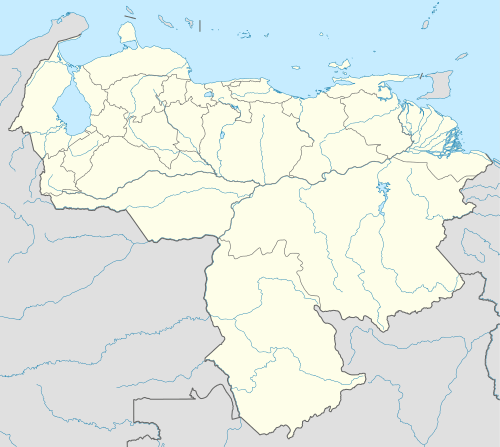
 PDZ Location of the airport in Venezuela | |||||||||||
| Runways | |||||||||||
| |||||||||||
Pedernales Airport (IATA: PDZ, ICAO: SVPE) is an airport serving the village of Pedernales in the Delta Amacuro state of Venezuela.
Boats and the airport are the main access to Pedernales, which is on the estuary of the Caño Manamo River, and has no paved roads leading to it.[2]
See also
 Venezuela portal
 Aviation portal
- Transport in Venezuela
- List of airports in Venezuela
References
- ↑ Airport information for PDZ at Great Circle Mapper.
- 1 2 HERE/Nokia - Pedernales
External links
This article is issued from Wikipedia - version of the 12/5/2016. The text is available under the Creative Commons Attribution/Share Alike but additional terms may apply for the media files.