Pljačkovica
| Pljačkovica | |
|---|---|
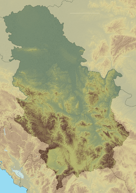 Pljačkovica Location in Serbia | |
| Highest point | |
| Elevation | 1,231 m (4,039 ft) [1] |
| Coordinates | 42°35′26″N 21°53′59″E / 42.59056°N 21.89972°ECoordinates: 42°35′26″N 21°53′59″E / 42.59056°N 21.89972°E |
| Geography | |
| Location | Southern Serbia |
Pljačkovica[2] (Serbian Cyrillic: Пљачковица, pronounced [pʎǎtʃkɔʋitsa]) is a mountain in southern Serbia, overlooking the city of Vranje. Its highest peak has an elevation of 1,231 meters above sea level.
Since the mountain is located on a strategic position over the city of Vranje, its peak hosts a TV tower and other telecommunication facilities. It was heavily bombed in the NATO bombing of FR Yugoslavia in 1999, and it is significantly contaminated with depleted uranium ammunition.[3]
References
- ↑ Jovan Đokić. "Katalog planina Srbije". PSD Kopaonik Beograd.
- ↑ "Data on Vranje". Official website of Vranje. Retrieved 2010-10-11.
- ↑ S. Milačić, J. Simić, The Consequences of NATO Bombing on the Environment in Serbia (PDF), p. 6
This article is issued from Wikipedia - version of the 4/27/2014. The text is available under the Creative Commons Attribution/Share Alike but additional terms may apply for the media files.