Pojhi Kapoor
| Pojhi Kapoor Pojhi | |
|---|---|
| Village | |
 Pojhi Kapoor 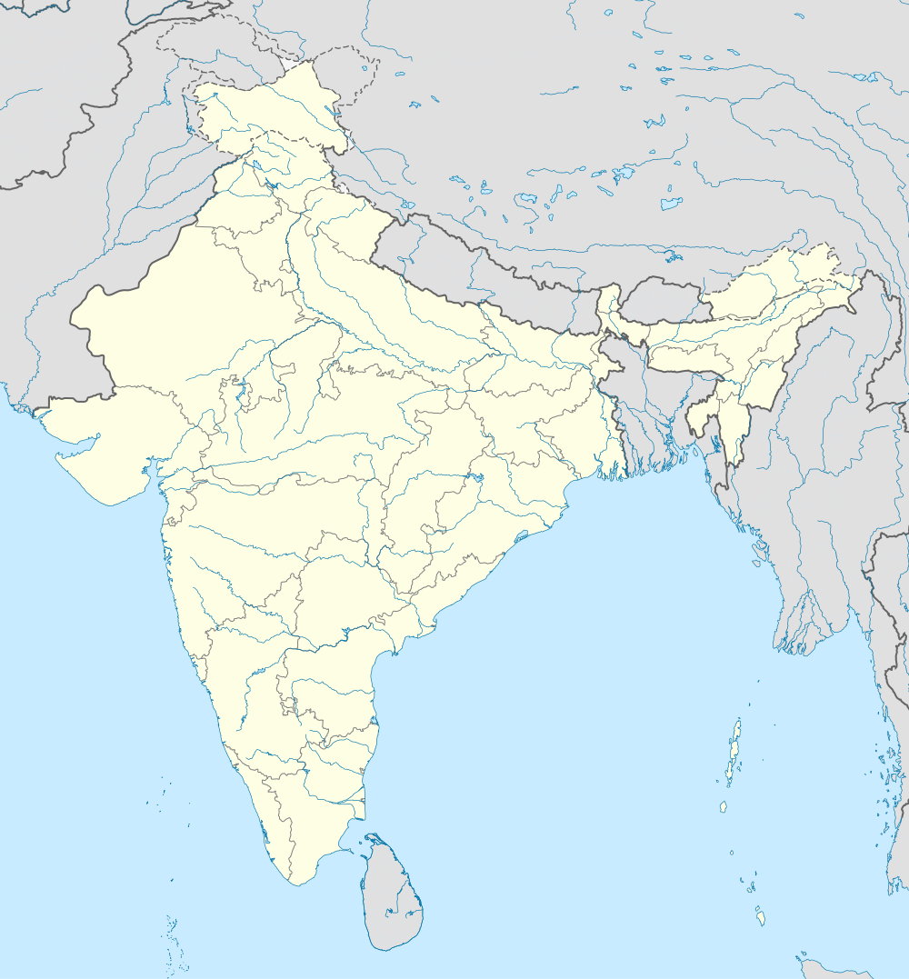 Pojhi Kapoor Location in Bihar, India | |
| Coordinates: IN 25°52′N 84°51′E / 25.87°N 84.85°ECoordinates: IN 25°52′N 84°51′E / 25.87°N 84.85°E | |
| Country |
|
| State | Bihar |
| District | Saran |
| Elevation | 36 m (118 ft) |
| Population (2011) | |
| • Total | 4,254 |
| Languages | |
| • Official | Hindi |
| Time zone | IST (UTC+5:30) |
Pojhi Kapoor (Hindi: पोझी कपूर Urdu: پوجھ بجرگ / کپور ) is a village and part of Bhualpur Panchayat of Saran district, Bihar, India.[1]
Geography
Pojhi Kapoor is located at 25°52′N 84°51′E / 25.87°N 84.85°E.[2] It has an average elevation of 36 metres.
Location
Pojhi Kapoor(Postal Code:841415) is about 15 km from district headquarters Chhapra.It falls under Bhualur Panchayat of Saran district .Garkha is nearest city.The village is well-connected by roads in all seasons. The nearest railway station is Chhapra and the nearest airport is Lok Nayak Jayaprakash Airport, Patna.
Development Works
- Water supply pipelines: Village is equipped with Water supply pipelines. Public water taps has been installed at few places . There is no direct supply to households yet. Village has been water rich but due to increasing population and lack of awareness for water conservation , summers becoming hard for people. Most of hands pumps and wells dries during summer.
Demographics
As of 2011 India census,[3] Pojhi Kapoor had a population of 4254. Males constitute 55% of the population and females 45%.Due to lack of employment and agriculture becoming less attractive , Lots of youth migrates every year to other state in search of jobs.
Healthcare & Facilities
- There is a Government Hospital situated in Pojhi Kapoor providing round the clock medical facility to people of the area.[4]
- Electricity supply is available for an average duration of 18 Hour(s)/24 Hour(s). Timings for breakdown are as:4 P.M.-6 P.M. and 8 P.M.-10 P.M.
Schools
Pojhi Kapoor has three primary schools and one Higher Secondary School specially for girls affiliated to Bihar School Examination Board.
- Sitaram Project Balika Uchhayatar(+2) Vidyalaya,Pojhi Kapoor
- Prathmik Vidyalya,Pojhi Kapoor
- Prathmik Kanya Vidyalya,Pojhi Buzurg
- Prathmik Vidyalya,Pojhi Buzurg
Geographical Location
 |
Adamapur,Basdih Village | | ||
| Bhuwalpur,Mubarakpur | |
Dumariya | ||
| ||||
| | ||||
| Kewani,Audha |
Gallery
 Chhath Ghat
Notable personalities
- Lal Babu Rai, Ex-MLA Marhaura, Leader Janata Dal (United) [5]
References
- ↑ "Pojhi Kapoor Village Bhualpur Panchayat Marhourah Block, saran Bihar India". Brandbihar.com. Retrieved 2013-10-04.
- ↑ "Get Address of Properties Near 25.8706227,84.8541869". Getaddress.net. Retrieved 2013-10-04.
- ↑ "Census of India: Population Finder". Censusindia.gov.in. Retrieved 2013-10-04.
- ↑ "Get Address of Properties Near 25.869550243598322,84.86068367958069". Getaddress.net. Retrieved 2013-10-04.
- ↑ "Lal Babu Rai Lal(Independent(IND)):Constituency- Saran(BIHAR) - Affidavit Information of Candidate:". Myneta.info. Retrieved 2013-10-04.